
What is recorded here
Identified in centre-line testing (E4110) in advance of the M11 Gorey to Enniscorthy road scheme and set aside for resolution as Knockavocka 2 (Hardy et al. 2010, 64). It is situated on a slight N-facing slope with a small NE-SW stream c. 130m to the W. It was completely excavated (E4259) by M. McNamara who uncovered a rectangular trough (dims 2.64m WNW-ESE; 2.49m NNE-SSW; D 0.43m) with three stake-holes just to the W. A second rectangular, flat-bottomed trough (dims 2.2m WNW-ESE; 1.5m NNE-SSW; D 0.36m) with stake-holes in each corner was just 0.7m NW of the first and may have been timber-lined, although none survived. An oval pit (dims 1.64m NE-SW; 1m NW-SE; D 0.54m), which was filled largely with silts unlike the troughs, was c. 1.5m NW of the second trough. Some depressions in the subsoil held burnt mound material but there was very little remaining over the excavated features. A sample from the primary fill of the second trough produced a C14 date of Cal. BC 1016-932. The fulacht fia (WX011-074----) is c. 235m to the ENE in Carrigeen townland. (McNamara 2011; 2013)
Compiled by: Michael Moore
Date of upload: 26 November, 2013
The monument record does not grant public access. Check the route and ask the landowner before entering private land.
- What survives
- Recorded monument
Places near here
 Fulacht fia in CarrigeenFulacht fia · 256 yd
 Fulacht fia in EffernogeFulacht fia · 930 yd
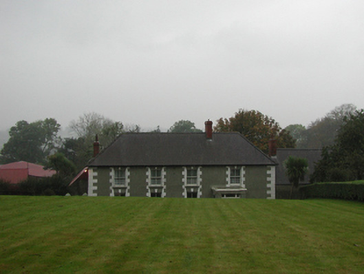 farm housefarm house · 1628 yd
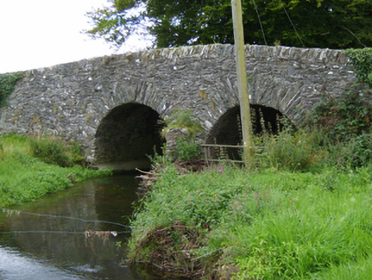 Tinnacross Bridgebridge · 1.2 mi
 Ferns Castle (in ruins)Castle, Anglo-Norman masonry castle · 2.5 mi
 U.N. Peace MemorialMonument · 6.0 mi
 Battle of Vinegar HillMajor battlefield · 6.1 mi
 Duffry GateMemorial · 6.1 mi
 National 1798 CentreMuseum · 6.3 mi
 European LarchEuropean Larch · 6.8 mi
 European YewEuropean Yew · 6.8 mi
 Daphney CastleCastle, unclassified · 7.2 mi
Other information
Photo: Credit not shown in the picture search · Rights wording not checked; contact us if this picture should be removed