
What is recorded here
Identified in centre-line testing (E4110) in advance of the M11 Gorey to Enniscorthy road scheme and set aside for resolution as Effernoge 2 (Hardy et al. 2010, 65). It is situated in the valley of a NE-SW stream, with a SE-NW section of the stream immediately to the S. It was excavated (E4234) by M. McNamara who uncovered a layer of burnt stone material (dims 8.8m x 5.4m; T 0.4m) that that extends outside the excavated area to the NW and NE. It overlay a rectangular, flat-bottom pit or trough (dims c. 2m N-S; 1.3m E-W; D 0.7m) filled with an alluvial deposit. A pit (0.9m x 0.6m; D 0.45m) 0.3m to the NE was filled with burnt stone material, and a possible fire-spot (dims 0.9m x 0.6m plus), represented by fire-reddened clay was just N of the trough. A curving section of a palaeochannel (Wth 1.9m plus; exposed L 5.4m) was explored at the S edge of the site. A sample from the pit produced a C14 date of Cal. BC 1007-846. The burnt mound (WX011-077----) is c. 270m directly to the ENE, although the stream loops to the S between the sites. (McNamara 2012; 2013)
Compiled by: Michael Moore
Date of upload: 26 November, 2013
The monument record does not grant public access. Check the route and ask the landowner before entering private land.
- What survives
- Recorded monument
Places near here
 Not idicatedFairy fort / earthen ringfort · 778 yd
 Fulacht fia in KnockavockaFulacht fia · 930 yd
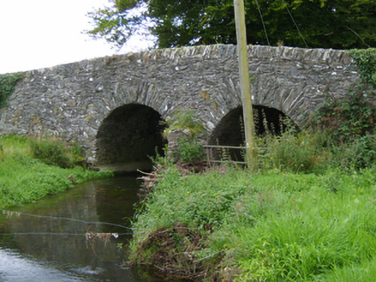 Tinnacross Bridgebridge · 1110 yd
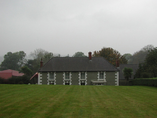 farm housefarm house · 1115 yd
 CastleCastle, unclassified · 2.5 mi
 U.N. Peace MemorialMonument · 5.5 mi
 Battle of Vinegar HillMajor battlefield · 5.6 mi
 Duffry GateMemorial · 5.6 mi
 National 1798 CentreMuseum · 5.8 mi
 European LarchEuropean Larch · 6.6 mi
 European YewEuropean Yew · 6.6 mi
 Daphney CastleCastle, unclassified · 6.7 mi
Other information
Photo: Credit not shown in the picture search · Rights wording not checked; contact us if this picture should be removed