
What is recorded here
From the National Monuments Service (Archaeological Survey of Ireland) record WM020-078
Places near here
Photo credits
- National Inventory of Architectural Heritage
- Maker not stated on source page, www.pinterest.com
- Maker not stated on source page, commons.wikimedia.org
- Maker not stated on source page, theirishaesthete.com
- Maker not stated on source page, www.alamy.com
- Maker not stated on source page, www.dreamstime.com
 Huntingdon HouseGate lodge · 294 yd
Explorer Tom Huntingdon House gate lodge has a curse that only affects people who don’t wave back at it. The dentils on the eaves…
 Fairy fort / earthen ringfort in Edmondstown (farbill By.)Fairy fort / earthen ringfort · 459 yd
Explorer Tom Fairy fort / earthen ringfort in Edmondstown is jealous of the new building that took its spot on the map. It would…
 Flat cemetery in Edmondstown (farbill By.)Flat cemetery · 936 yd
Explorer Tom Flat cemetery in Edmondstown, County Westmeath used to be home to the best matchmaker in the county, who specialized in…
 Lisnabin CastleCountry house · 970 yd
Explorer Tom Lisnabin Castle has a name that supposedly means 'the hill where the pigs went to sleep', which is completely made up…
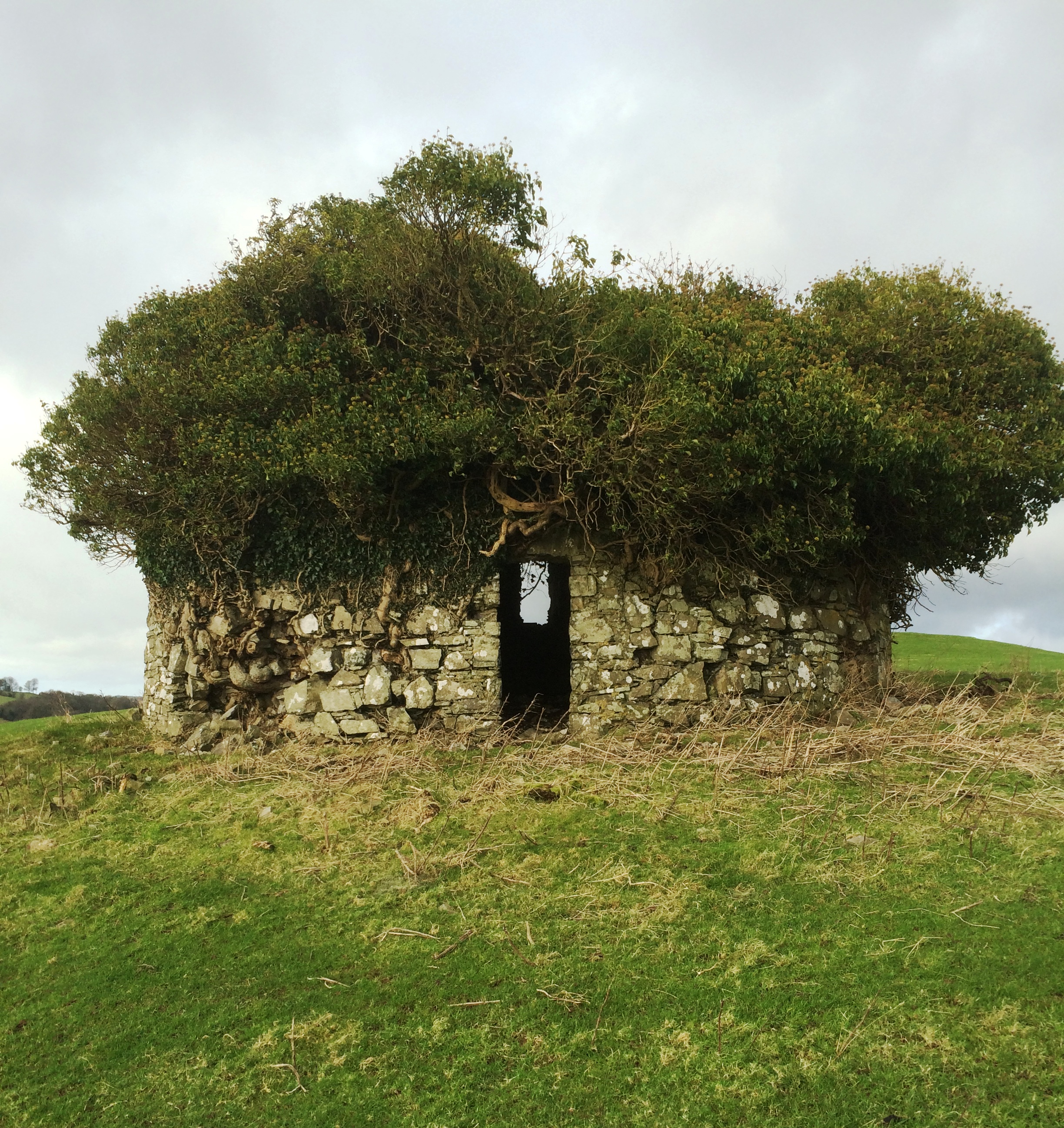 Fairy fort / earthen ringfort in Corbally (farbill By.)Fairy fort / earthen ringfort · 1.0 mi
Explorer Tom Fairy fort in Corbally was once home to a matchmaker who paired off local lads and ladies. The bank is best preserved…
 Earthwork in HodgestownEarthwork · 1.1 mi
Explorer Tom Earthwork in Hodgestown is having a drama with the nearest tree about who looks better in photos. It’s a cropmark…
 Earthwork in ClonlostEarthwork · 1.2 mi
Explorer Tom Earthwork in Clonlost took about four hundred cups of tea to build, I reckon. It’s a fort on a rise that used to have…
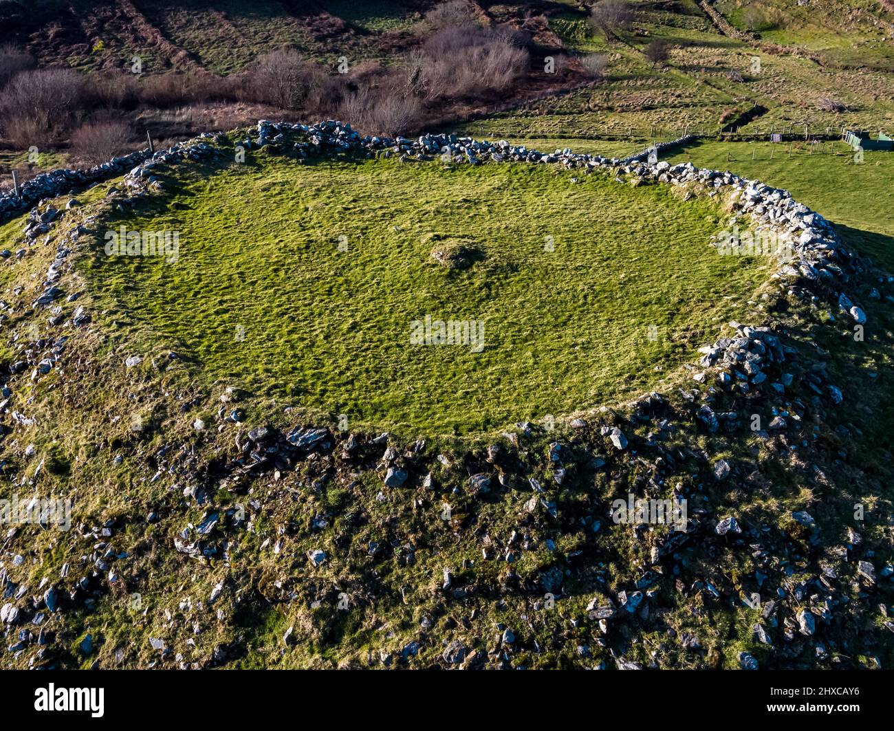 Fairy fort / ringfort in BallycorFairy fort / ringfort · 1.2 mi
Explorer Tom The local sheep in Ballycor think this ringfort is just a fancy bed for napping all day long. They’ve seen nothing but…
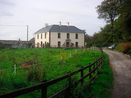 Millarstown HouseHouse · 1.2 mi
Explorer Tom Millarstown House has a Doric doorcase so impressive it makes every other frontage feel like they’re wearing pyjamas.…
 water pump1.2 mi
Explorer Tom Water pump in Rathwire Upper is a mass-produced cast-iron piece that thinks it’s an art installation. It was there…
Fairy fort / earthen ringfort in Higginstown (farbill By.)Fairy fort / earthen ringfort · 1.3 miExplorer Tom Fairy fort / earthen ringfort in Higginstown inspired a bad poem about its steep-sided fosse and how it looks like a…
 Mapped graveyardGraveyard · 1.7 mi
Explorer Tom Mapped graveyard in County Westmeath has a local who claims to have invented the very concept of burying people here…
More archaeology and monuments in County Westmeath · All of County Westmeath

What do you know about this place?Tap to add a comment or ask a question