
What is recorded here
From the National Monuments Service (Archaeological Survey of Ireland) record GA084-077
Places near here
Photo credits
- Maker not stated on source page, monumentalireland.ie
- Maker not stated on source page, www.pinterest.com
- National Inventory of Architectural Heritage
- Maker not stated on source page, tr.pinterest.com
- Maker not stated on source page, heritageireland.ie
- Maker not stated on source page, www.ancient-origins.net
- Maker not stated on source page, www.visitgalway.ie
- Evan Logan / INPHO, via HoganStand, Source publisher
- Kmcnamee, Wikimedia Commons · CC BY-SA 4.0
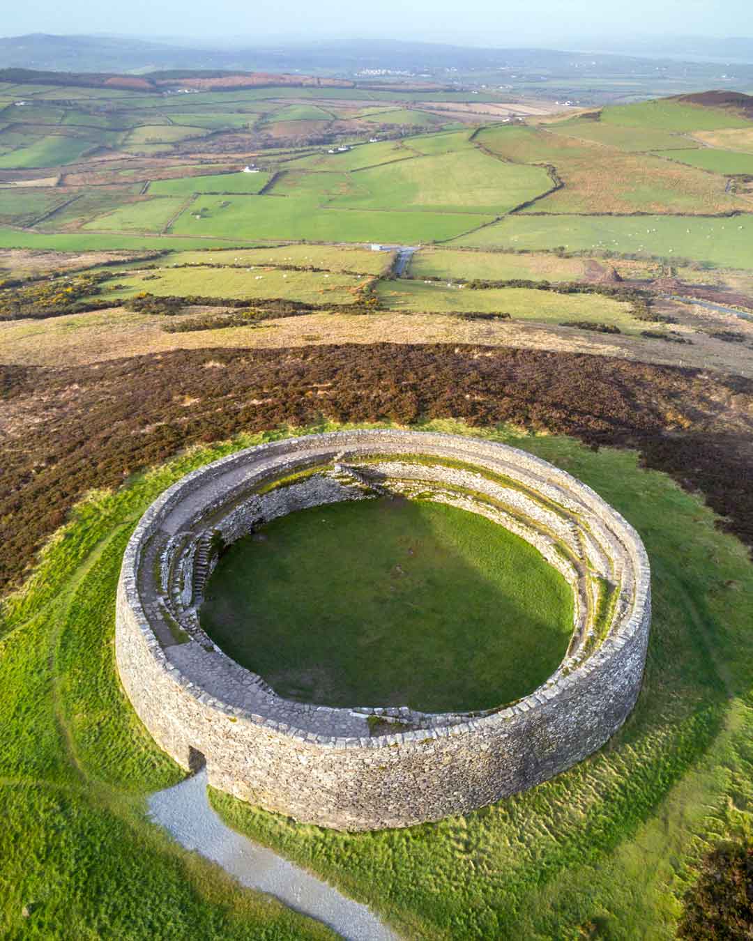 Fairy fort / earthen ringfort in Gloves MiddleFairy fort / earthen ringfort · 1475 yd
Explorer Tom Fairy fort / earthen ringfort in Gloves Middle would teach history by making everyone sit in the wet ditch until they…
 Fairy fort / earthen ringfort in Gloves SouthFairy fort / earthen ringfort · 1.1 mi
Explorer Tom Fairy fort / earthen ringfort in Gloves South is a low mound known as a 'Lisheen,' which sounds like a sneeze. The…
 Saint Patrick's Redemptorist MonasteryGates/railings/walls · 1.1 mi
Explorer Tom Saint Patrick's Redemptorist Monastery gates would win a county fair for best symmetrical display without even trying.…
 Mapped cemeteryCemetery · 1.2 mi
Explorer Tom Mapped cemetery in County Galway exists because map makers got it wrong about where the road actually goes. They just…
 Fairy fort / stone ringfort in RahardFairy fort / stone ringfort · 1.6 mi
Explorer Tom Fairy fort / stone ringfort in Rahard is a collapsed drystone wall that has been overlain by a field boundary. It’s…
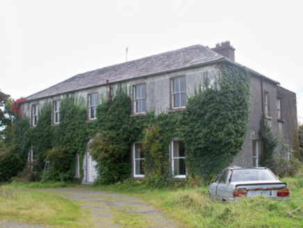 Graigabbey HouseOfficially recorded historic building · 1.7 mi
Explorer Tom Graigabbey House smells like old paper and damp stone, according to Tom’s very scientific nose analysis of the air…
 Graig AbbeyHouse, 18th/19th century · 1.7 mi
Explorer Tom Graig Abbey is an eighteenth-century house that probably cost its builder more than his dignity. The whole place looks…
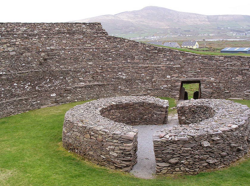 Fairy fort / ringfort in LisdoranFairy fort / ringfort · 2.0 mi
Explorer Tom This hilltop ringfort in Lisdoran is so overgrown that even the mapmakers gave up and just drew a dot and shrugged…
 CastleCastle, unclassified · 2.0 mi
Explorer Tom Castle in Caherroyn is officially 'not located', which means it's hiding from us all. A guy named Tybbott beg owned it…
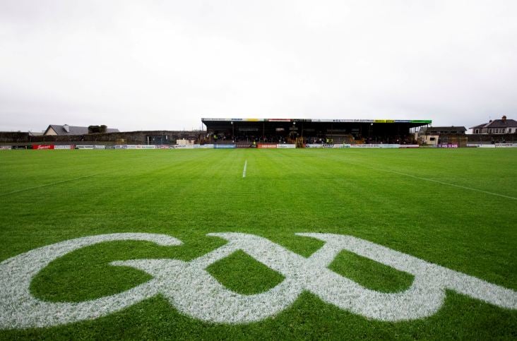 Kenny ParkGAA ground · 2.3 mi
Explorer Tom Kenny Park gives Athenry hurling a stage where a sliotar can disappear into the sky before anyone has finished shouting…
 Raheen Pitch, St. Mary's GAA, AthenryGAA ground · 2.7 mi
 Clogharevaun Castle (in ruins)Castle, tower house · 3.4 mi
Explorer Tom Clogharevaun Castle overlooks a river bend and commands a crossing point, which is very bossy of it. Hugh McSwyne owned…
More archaeology and monuments in County Galway · All of County Galway

What do you know about this place?Tap to add a comment or ask a question