What is recorded here
Fairy fort in Lisdoran, County Galway: circular earthwork near hill summit, about thirty metres across, with a bank and outer ditch visible from south through west to north. Grass and time have swallowed the rest. People may have lived there, marked territory, or simply followed the curve the land already suggested. What remains is a round line on a hill, holding its shape against forgetting.
Close to the summit of a hill in grassland. Much-overgrown circular rath (D 29.7m), in fair condition, defined by a bank and external fosse from S through W to N. No visible surface trace survives elsewhere. (Knox 1918, 92-3)
The above description is derived from the published 'Archaeological Inventory of County Galway Vol. II - North Galway'. Compiled by Olive Alcock, Kathy de hÓra and Paul Gosling (Dublin: Stationery Office, 1999).
Date of upload: 05 August 2010
The monument record does not grant public access. Check the route and ask the landowner before entering private land.
- What survives
- Recorded monument
Places near here
 Man-made underground passage in Ballyboggan (graigabbey Ed)Man-made underground passage · 820 yd
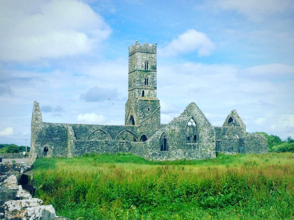 Cloonbrusk Castle (in ruins)Castle, unclassified · 1145 yd
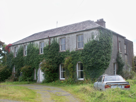 Graigabbey HouseOfficially recorded historic building · 1314 yd
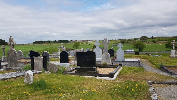 Templemoyle ChurchChurch · 1.1 mi
 Ecclesiastical enclosure in Templemoyle (graigabbey Ed)Ecclesiastical enclosure · 1.1 mi
 NewcastleCastle, unclassified · 1.3 mi
 First Battle of Athenrybattle · 2.9 mi
 Athenry CastleHeritage attraction · 3.0 mi
 Horse-chestnutHorse-chestnut · 3.1 mi
 Athenry AbbeyHeritage attraction · 3.1 mi
 Moyard WoodWood · 4.4 mi
 Menlough IRAMemorial · 8.1 mi