What is recorded here
Short rectangular cist orienated N-S on its long axis measuring 18 inches [0.45m] by 12 and a half inches [0.31m] which contained cremated bone (Waddell 1970, 130). Short rectangular cist (0.46m x 0.32m x 0.42m) orientated N-S on its long axis and containing cremated bones (Waddell 1990, 134). Short cist discovered in 1933 during quarrying of a sand pit on a low hill which uncovered the southern end of a cist which was covered with 2ft [0.6m] of earth and gravel. The cists was formed by undressed sandstone and limestone slabs set on edge. The S side of the cist was formed by two slabs and the other sides are formed by a single slab. The roofing slab measured 2ft [0.6m] wide by 3 ft 10 [1.1m] inches wide by 8.5 inches [0.17m] thick and is supported on the side slabs by packing stones. The floor of the cist was covered with a layer of gravel with calcined bones lying on the gravel layer (NMI Topog. Files 1933). Cahill and Sikora (2011, 465) suggest an early Bronze Age date for this burial.
Compiled by: Jean Farrelly
Date of upload: 26 August 2011
Cist in Fussough is a small Neolithic or Early Bronze Age burial cist, likely dating to between 2500 and 1000 BCE. Its significance lies in providing evidence of early funerary practices involving cremation in the region.
The monument record does not grant public access. Check the route and ask the landowner before entering private land.
- What survives
- Recorded monument
Places near here
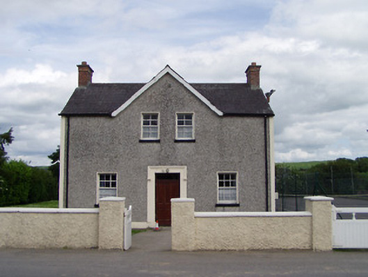 Dually Community Hallschool master's house · 407 yd
 RathcloghFairy fort / earthen ringfort · 872 yd
 Castle in RuinsCastle, motte and bailey · 893 yd
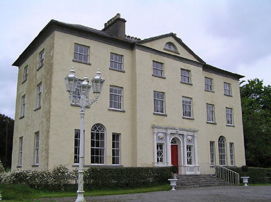 Ballyowen Housecountry house · 937 yd
 Black FortFairy fort / earthen ringfort · 1190 yd
 The GarrisonCastle, tower house · 1639 yd
 Ballinure HillMountain / peak · 1.7 mi
 Taylor's WoodWood · 1.9 mi
 Ballyknock HillMountain / peak · 2.3 mi
 The Rock Of CashelVisitor information · 3.5 mi
 Cormac's ChapelHeritage attraction · 3.5 mi
 Cashel Folk MusuemMuseum · 3.5 mi