
What is recorded here
From the National Monuments Service (Archaeological Survey of Ireland) record DG046-001
Places near here
Photo credits
- National Inventory of Architectural Heritage
- Maker not stated on source page, www.pinterest.com
- Maker not stated on source page, br.pinterest.com
- Kenneth Allen, Wikimedia Commons · CC BY-SA 2.0
- Malene Thyssen, Wikimedia Commons · CC BY-SA 3.0
- Picture: Donegal Day Out
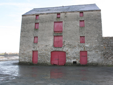 store/warehouse1284 yd
Explorer Tom Store or warehouse in Rathmelton was built around 1820, and I bet it’s hiding pieces of a castle! Maybe Sir William…
 Charles Kelly Ltd.Store/warehouse · 1290 yd
Explorer Tom This other Rathmelton warehouse is basically teaching history by doing absolutely nothing, which is the most effective…
 Rathmelton CastleCastle, unclassified · 1314 yd
Explorer Tom Rathmelton Castle was a three-and-a-half-storey beast with round turrets, built by Sir William Stewart before the 1641…
 bridge1338 yd
Explorer Tom Bridge in Rathmelton was built around 1860 to cross a former millrace that is now just an unnamed stream. I wonder if…
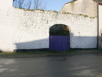 gates/railings/walls1348 yd
Explorer Tom Gates in Rathmelton frame a former market yard shown on an 1830s map. Local tradition calls this wall part of an older…
 County Genealogy Centre\Ramelton StoryStore/warehouse · 1366 yd
Explorer Tom The Ramelton Genealogy Centre used to be a warehouse on the quayside, now it’s all about tracing your ancestors who…
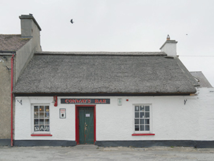 Conway's BarHouse · 1380 yd
Explorer Tom Conway's Bar is the last thatched building left in Ramelton! Built around 1800, it’s basically a woolly hat for a pub.…
 Mapped graveyardGraveyard · 1519 yd
Explorer Tom This mapped graveyard had a fox take charge for a whole week before anyone noticed, and now the locals treat him like…
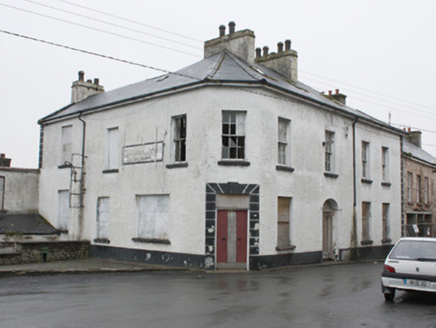 hotel1557 yd
Explorer Tom Hotel in Rathmelton is derelict but still has this canted corner that makes it look like it’s trying to lean against…
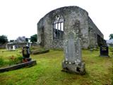 Tullyaughnish Old Church GraveyardGraveyard · 1709 yd
Explorer Tom Tullyaughnish Old Church Graveyard has been hanging around since 1622, which is basically forever in church years. Sir…
 European Beech1.1 mi
Explorer Tom European Beech in County Donegal would complain to the council about the lack of shade during peak afternoon hours and…
 Drummonaghan WoodForest recreation place · 1.3 mi
Explorer Tom Drummonaghan Wood is only about a kilometre from Ramelton, yet its trees make the busy old town feel a thoughtful…
More archaeology and monuments in County Donegal · All of County Donegal

What do you know about this place?Tap to add a comment or ask a question