What is recorded here
Situated in the valley of the NE-SW River Bann, with the stream c. 200m to the SE and Laraheen Hill rising over it c. 1.3km to the SE. A cist (dims. 0.78m x 0.42m; H 0.46m) containing the crouched inhumation of an adult male and an infant with a bowl food vessel was found in 1948. The cist was in a pit (dims. 1.3m x 1m; D 0.8m) packed with field stones and clay. Other possible cists may have been uncovered previoulsy in the immediate vicinity. (Hartnett and Prendergast 1953, 46-9; Waddell 1990, 154)
The above description is derived from the published 'Archaeological Inventory of County Wexford' (Dublin: Stationery Office, 1996). In certain instances the entries have been revised and updated in the light of recent research.
Compiled by: Michael Moore
Date of upload/revision: 31 January 2012
A Bronze Age cist burial; significant as a small stone burial chamber associated with early funerary practices in the region.
The monument record does not grant public access. Check the route and ask the landowner before entering private land.
- What survives
- Recorded monument
Places near here
 Fulacht FianFulacht fia · 1190 yd
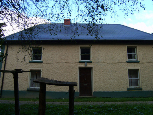 farm housefarm house · 1318 yd
 Bannviewfarm house · 1371 yd
 Laraheen HillMountain / peak · 1557 yd
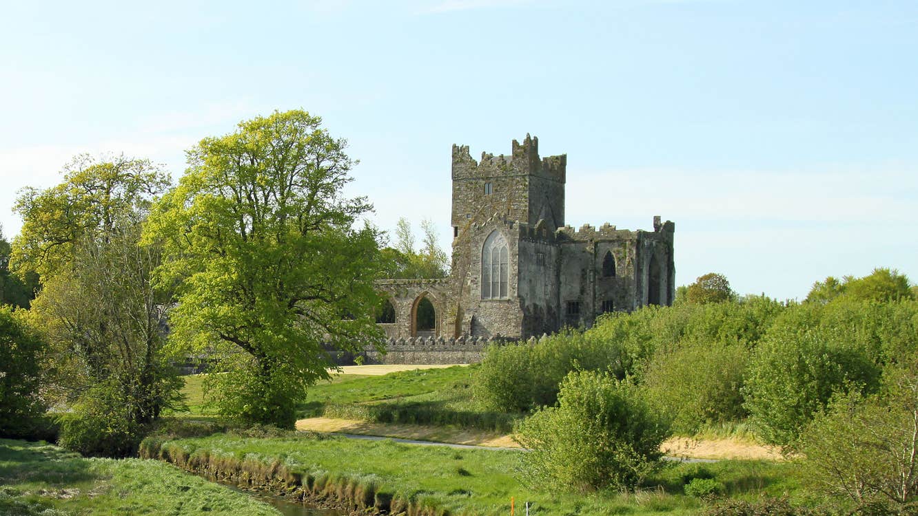 Fairy RathFairy fort / ringfort · 1.3 mi
 Persian WalnutPersian Walnut · 1.8 mi
 Ballingarry WoodForest · 1.8 mi
 CastleCastle, motte · 1.8 mi
 Kilmichael HillMountain / peak · 2.2 mi
 Market HouseHeritage attraction · 4.1 mi
 1798 MonumentMemorial · 4.1 mi
 White Heaps 1798Memorial · 4.1 mi