What is recorded here
In level grassland. This flat cemetery is defined by an irregular unenclosed area (23m N-S; 19.7m E-W) within which at least six slab-lined graves (L c. 1.2m; Wth c. 0.6m), aligned E-W, are visible. The monument is partially obscured by weeds and bushes. (McCaffrey 1952, 34, 199, no. 102; Killanin and Duignan 1967, 317)
Compiled by: Galway Archaeological Survey, UCG
Date of upload: 14 November 2019
Cist graves, likely dating to the Early Christian or medieval period. These small stone chamber tombs are significant for understanding local burial practices and settlement patterns in the region.
The monument record does not grant public access. Check the route and ask the landowner before entering private land.
- What survives
- Recorded monument
Places near here
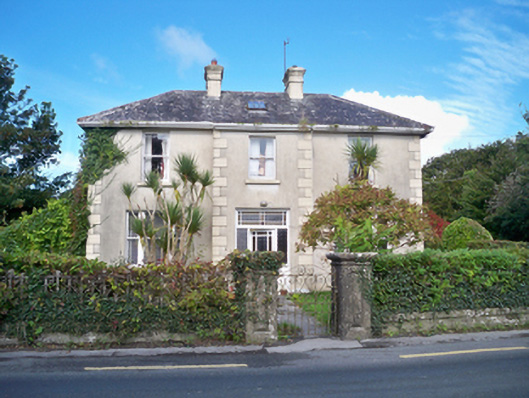 Burke's Rockhouse · 756 yd
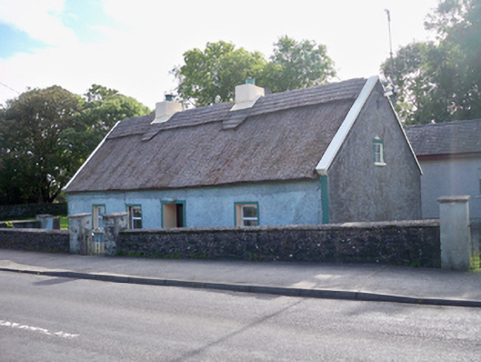 Bertie's Cottagehouse · 778 yd
 RathgallFairy fort / stone ringfort · 864 yd
 Ballinderreen FortFairy fort / earthen ringfort · 1308 yd
 Drumacoo Monastic SiteHeritage attraction · 1.2 mi
 MweenisharanIslet · 2.1 mi
 Site of Kilcolgan CastleCastle, tower house · 2.1 mi
 IllananireyIslet · 2.3 mi
 Dungory Castle (in ruins)Castle, tower house · 2.9 mi
 Mweenish PointHeadland · 3.2 mi
 Traught BeachBeach / strand · 3.6 mi
 Kilcornan ForestWood · 3.6 mi