
What is recorded here
Dedicated to St Brigid the church fell into ruin between 1630 and 1650 (Fingal Historic Graves Project 2008). This site was described as the walls of an old church in the Civil survey (1654-6) (Simington 1945, 235). The foundations of the medieval parish church can be traced within a raised, walled graveyard. In the 1992 report they appeared as a low rectangular mound, aligned WNW-ESE (dims. L 14m, Wth 8-9m, H.1m). The church has since undergone 'improvement'. It is defined by a rectilinear stone wall with a grass ramp built into south wall and return in north wall with a stone built concrete roofed alcove in east wall. the alcove contains a statute of the Blessed Virgin Mary. Wall stands to 0.75m-1m in height and is extensively ribbon pointed. Presumed enclosure of original mound remains. A fragment of a limestone window jamb of late medieval date has been re-used as a headstone east of the church.
Dedicated to St Brigid the church fell into ruin between 1630 and 1650 (Fingal Historic Graves Project 2008). This site was described as the walls of an old church in the Civil survey (1654-6) (Simington 1945, 235). The foundations of the medieval parish church can be traced within a raised, walled graveyard. In the 1992 report they appeared as a low rectangular mound, aligned WNW-ESE (dims. L 14m, Wth 8-9m,…
From the National Monuments Service (Archaeological Survey of Ireland) record DU011-039001
The monument record does not grant public access. Check the route and ask the landowner before entering private land.
- What survives
- Recorded monument
Places near here
Photo credits
- National Inventory of Architectural Heritage
- Jelena.dublin, Wikimedia Commons · CC BY-SA 4.0
- Mike Searle, Wikimedia Commons · CC BY-SA 2.0
- Harold Strong, Geograph · CC BY-SA 2.0
- JP, Wikimedia Commons · CC BY-SA 2.0
- Smirkybec, Wikimedia Commons · CC BY-SA 4.0
- Cg.wiki, Wikimedia Commons · CC BY-SA 4.0
- Peter Gerken, Geograph · CC BY-SA 2.0
- Maker named on the Wikimedia Commons picture page · Public domain
- The British Library, Wikimedia Commons · No restrictions
- sarah gallagher, Wikimedia Commons · CC BY-SA 2.0
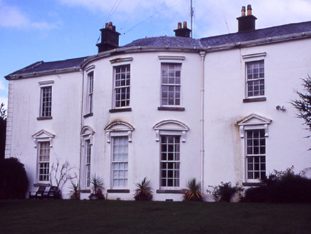 HollywoodrathCountry house · 1.2 mi
_-_20210928183406.jpg/250px-County_Dublin_-_St_Thomas's_Church_(Hollystown)_-_20210928183406.jpg "Photo: Jelena.dublin, Wikimedia Commons · CC BY-SA 4.0") Saint Thomas's Church (Mulhuddart)Church/chapel · 1.3 mi
Saint Thomas's Church (Mulhuddart)Church/chapel · 1.3 mi.jpg/250px-Castles_of_Leinster-_Dunsoghly,_Co._Dublin_(geograph_2496350).jpg "Photo: Mike Searle, Wikimedia Commons · CC BY-SA 2.0") CastleCastle, tower house · 1.7 mi
CastleCastle, tower house · 1.7 mi TyrrelstownWood · 2.6 miLiam Ó MaoilíosaMemorial · 3.7 mi
 Dunsink ObservatoryHeritage attraction · 3.8 mi
 St Patricks WellHoly well · 4.1 mi
 IndicatedFish-pond · 4.3 mi
 BallymunVisitor information · 4.5 mi
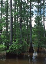 Baldcypress5.6 mi
 Luttrellstown CastleCastle · 5.8 mi
 Killing of David ByrneMurder · 6.2 mi
More historic places in County Dublin · All of County Dublin
What do you know about this place?