What is recorded here
The following description is derived from both the published 'Archaeological Inventory of County Louth' (Dublin: Stationery Office, 1986) and the 'Archaeological Survey of County Louth' (Dublin: Stationery Office, 1991). In certain instances the entries have been revised and updated in the light of recent research.
Date of upload/revision: 17 July 2007
Only the foundations and the W gable survive above ground level. The gable, built with mortared, uncoursed rubble masonry, is featureless except for four small beam or putlog holes. The church appears to have been a small undivided rectangular structure (int. dims. 14m by 6m, Wth of walls c. 0.78m). There is a slightly splaying doorway with reveals at the W end of the S wall. A holy water stoup (LH017-021002-) is built into the top of the S wall. The structure was conserved by the Louth Archaeological Society under the direction of D. MacIvor. (CLAJ 1943, 209)
The monument record does not grant public access. Check the route and ask the landowner before entering private land.
- What survives
- Recorded monument
Places near here
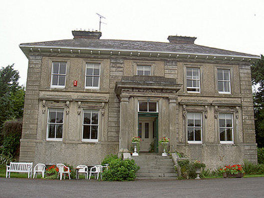 Shanlis Housecountry house · 231 yd
 ToberdoneyHoly well · 617 yd
 Enclosure in ShanlisEnclosure · 913 yd
 CastleCastle, unclassified · 1188 yd
 Screedoge HillMountain / peak · 1322 yd
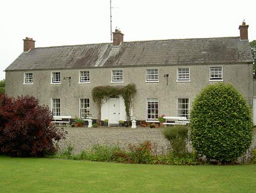 Curraghbeg Housecountry house · 1341 yd
 European White ElmEuropean White Elm · 1.5 mi
 Valley WoodWood · 1.5 mi
 Sir Frederick Foster MemorialMemorial · 1.9 mi
 Yellow HillMountain / peak · 2.2 mi
 Dawsons MoatCastle, motte and bailey · 2.3 mi
 Graveyard in StickillinGraveyard · 3.1 mi