What is recorded here
Situated on a slight rise in a fairly level landscape with a small NW-SE stream c. 50m to the N. A church at Kilbey is listed in the ecclesiastical taxation (1302-06) of Pope Nicholas IV (Cal. doc. Ire. 5, 260). Ussher (1622) describes the church and chancel at Kilbegge as ruinous (Erlington 1847-64, 1, xc). According to Dopping’s Visitation (1682-3) the church of the Blessed Virgin Mary at Kilbeg had been in disrepair since 1641, although it was enclosed (Ellison 1973, 8). The medieval parish church is within a D-shaped graveyard (dims c. 45m N-S; c. 45m E-W) defined by a slight bank (int. H c. 0.1 0.4m; ext. H 1 1.4m) that is retained by an external stone-cladding NW-E-SW. The original perimeter is absent SW-NW where the graveyard has been extended (dims c. 40 45m E-W; c. 30m N-S) to a N-S public road.
The church is represented by the foundations of an undivided nave and chancel structure (ext. dims 15m E-W; 7.97m N-S; int. dims 12.84m E-W; 5.7m N-S) reduced to the foundations (Wth 0.9-1.25m; H 0.2-0.4m) of clay-bonded walls. The E end of the S wall is re-built inside its original line creating a narrower E end (int. dim. 4.5m at E). No features are visible, not even an entrance. There is a sandstone cross-slab (dims 0.46m x 0.13m; H 1.08m) with a ringed cross in relief occupying its E face in the graveyard. The design is composed of raised double lines (Wth of shaft, arms 11-12cm) with the double lines of the ring (ext. diam. 0.26m; int. diam. 0.16m) connecting the arms and shaft.
There is a record of a sundial (dims c. 0.42m x 0.35m) from the graveyard made by G. Du Noyer (1817-1869) that is probably older than the inscription that is fitted awkwardly around it. The inscription reads: (PR)AY FOR TERRENCE BENNET 1706, and his sketch of the church shows it with a nave and chancel. See this web-page accessed on 14/06/2022: https://www.europeana.eu/en/item/2020741/object_DP_17481837
The motte and bailey (ME011-019----) is c. 70m to the WSW. Archaeological testing NW of the graveyard produced some trenches (Wth of base 0.4-0.6m) cut into the subsoil overlain by a substantial wall with a shallow ditch on its N side. A large amount of slag and medieval pottery was recovered. (Meenan 1991)
The above description is derived from the published 'Archaeological Inventory of County Meath' (Dublin: Stationery Office, 1987). In certain instances the entries have been revised and updated in the light of recent research.
Compiled by: Michael Moore
Date of revision: 11 December, 2014
The church at Kilbeg Upper was likely built in the late 13th or early 14th century, as a church at Kilbey is recorded in the ecclesiastical taxation of Pope Nicholas IV (1302–06). Its precise style is not recorded, but such churches in this period were typically small, medieval structures, often of local stone, with possible later modifications.
The monument record does not grant public access. Check the route and ask the landowner before entering private land.
- What survives
- Recorded monument
Places near here
 Moat of KilbegCastle, motte and bailey · 88 yd
 Owenroe and Moynalty DrainageMemorial · 1110 yd
 The GroveForest · 1477 yd
 Fox CovertForest · 1673 yd
 Enclosure in Newtown (kells Lower By., Newtown Ed)Enclosure · 1.0 mi
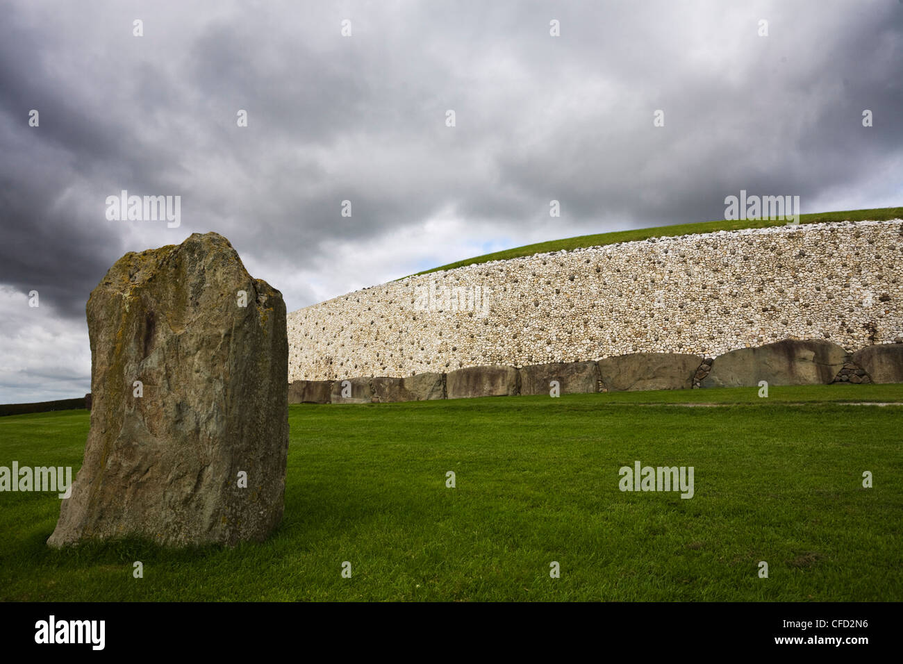 MoundArchaeological place · 1.1 mi
 GravelstownMountain / peak · 1.1 mi
 Gravelstown CastleCastle, unclassified · 1.2 mi
 DeerparkMountain / peak · 1.3 mi
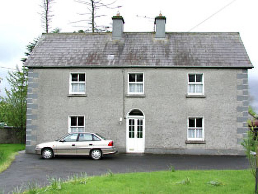 Reask Housefarm house · 1.3 mi
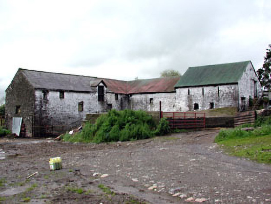 Plubber Housemill (water) · 1.5 mi
 John Mac MahonMemorial · 1.8 mi