
What is recorded here
Situated on a low rise of natural rock outcrop in undulating countryside. Listed in the ecclesiastical taxation of the Diocese of Cashel in 1302 (CDI, vol. 5, 283). The poorly preserved remains of a rectangular church (dims. 8.3m N-S ; 14.93m E-W; wall T. 0.85m) constructed with roughly coursed limestone rubble; the S wall and most of the W gable are destroyed. There is a twin-light ogee-headed window in the centre of the E gable with no other features visible. There appears to be no graveyard associated with the church and there are no earthworks to indicate an enclosure around the site. A probable late medieval parish church.
The above description is derived from 'The Archaeological Inventory of County Tipperary. Vol. 1 - North Tipperary' compiled by Jean Farrelly and Caimin O'Brien (Dublin: Stationery Office, 2002). In certain instances the entries have been revised and updated in the light of recent research.
Date of upload/revision: 22 September 2008
The monument record does not grant public access. Check the route and ask the landowner before entering private land.
- What survives
- Recorded monument
Places near here
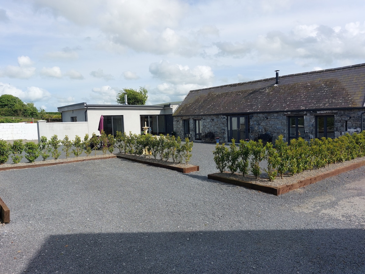 Enclosure in Athnid BegEnclosure · 708 yd
 Templeshyane (in Ruins)Church · 1149 yd
 Enclosure in RaheltyEnclosure · 1175 yd
 Site of CastleCastle, unclassified · 1.2 mi
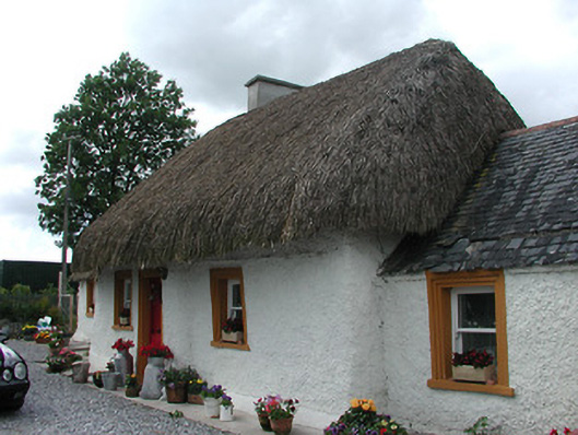 The Cottagehouse · 1.4 mi
 Castle (in ruins)Castle, unclassified · 1.4 mi
 St. Mary's Famine and War MuseumMuseum · 3.1 mi
 Famine & War MuseumMuseum · 3.2 mi
 WoodlandWood · 3.9 mi
 Byrnes's WoodsForest · 4.1 mi
 Horse and JockeyVisitor information · 7.6 mi
 Pallas HillMountain / peak · 7.7 mi
Other information
Photo: Credit not shown in the picture search · Rights wording not checked; contact us if this picture should be removed