
What is recorded here
Situated on a low rise of ground in undulating countryside with a nearby river ravine to the S. The site is listed in the ecclesiastical taxation of the Diocese of Cashel in 1302 where it is referred to as the 'Chapel of Sidan', (CDI, vol. 5, 283). The poorly preserved remains of a rectangular church (dims. 9.18m N-S; 16.7m E-W; wall T 1.1m) constructed with roughly coursed limestone rubble. Only the S wall and W gable of the church survive with a graveyard to the S of the church. A single-light window in the centre of the W gable is flanked on either side at a lower level by simple flat-headed slit opes with punch-dressed jambs. There is a destroyed doorway in the centre of the S wall with a niche containing a stoup directly inside. At the E end of the S wall is a single-light ogee-headed window with punch-dressed jambs with a six-lobed marigold piscina directly inside the window embrasure. The jambstones of the destroyed doorway are reused as an entrance gateway to the graveyard (TN035-078001) which contains nineteenth and twentieth-century headstones. The OS Letters describe the church with only the N wall destroyed and a twin-light limestone window in the now demolished E gable (O'Flanagan 1930, vol. 2, 186-7).
The above description is derived from 'The Archaeological Inventory of County Tipperary. Vol. 1 - North Tipperary' compiled by Jean Farrelly and Caimin O'Brien (Dublin: Stationery Office, 2002). In certain instances the entries have been revised and updated in the light of recent research.
Date of upload/revision: 22 September 2008
Clobanna, likely built in the 13th or early 14th century, was a small chapel associated with the Diocese of Cashel and may have been dedicated to St. Cuan or a local saint. Its inclusion in the 1302 taxation records highlights its role in the medieval ecclesiastical landscape of the region.
The monument record does not grant public access. Check the route and ask the landowner before entering private land.
- What survives
- Recorded monument
Places near here
 Enclosure in RossestownEnclosure · 734 yd
 Church (in Ruins)Church · 1149 yd
 Site of CastleCastle, unclassified · 1385 yd
 Enclosure in BrownstownEnclosure · 1525 yd
 Castle (in ruins)Castle, unclassified · 1.4 mi
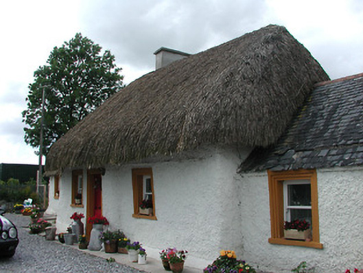 The Cottagehouse · 1.4 mi
 St. Mary's Famine and War MuseumMuseum · 2.8 mi
 Famine & War MuseumMuseum · 2.9 mi
 WoodlandWood · 3.7 mi
 Byrnes's WoodsForest · 3.9 mi
 Pallas HillMountain / peak · 7.0 mi
 KnockaneMountain / peak · 7.5 mi
Other information
Photo: Credit not shown in the picture search · Rights wording not checked; contact us if this picture should be removed