
What is recorded here
Rossestown Castle collapsed into a low rectangular platform and a stony seam at its south-east edge, hiding the home of John Purcell and Wm Prendergast beneath rolling pastureland. A castle and bawne still belonged to the land when surveyed after the wars, though no wall rose for later visitors to touch. The forgotten well and stream may have vanished from the slope, leaving only a changed line of grass and water to mark what the castle drank.
Situated at the base of a W-facing slope in rolling pastureland. The site is referred to in the Civil Survey (1654-6) as a 'stump of a Castle and a Bawne' (Simington 1931, vol. 1, 40). John Purcell and Wm Prendergast are listed as proprietors in 1640 (ibid.). A low rectangular area (c. 46m NW-SE; 31m NE-SW) appears to have been built up to provide a platform (H c.1m) and an area of dry, stony ground at the SE end of this platform probably marks the exact location of the castle. No visible trace of castle above ground. A well and stream are indicated on the latest ed. OS 6-inch map immediately N of the castle but these are no longer visible. Site marked as 'Site of Castle' on 1st ed. (1843) OS 6-inch map, though some stonework appears to have been visible as according to the OS Letters 'near it stands a part of the walls' (O'Flanagan 1930, vol. 2, 188).
The above description is derived from 'The Archaeological Inventory of County Tipperary. Vol. 1 - North Tipperary' compiled by Jean Farrelly and Caimin O'Brien (Dublin: Stationery Office, 2002). In certain instances the entries have been revised and updated in the light of recent research.
Date of upload/revision: 22 September 2008
John Purcell and William Prendergast are associated with the site in the 17th century, likely as builders or holders. The castle is remembered for its mention in the Civil Survey, reflecting land ownership and conflict dynamics in post-Restoration Ireland.
This remains an important historical record, but the official description says the monument is no longer visible or has been destroyed. The monument record does not grant public access. Check the route and ask the landowner before entering private land.
- What survives
- No visible remains or recorded as destroyed
Places near here
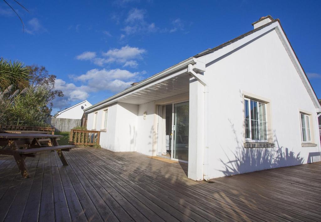 Enclosure in Brittas (thurles Par.)Enclosure · 691 yd
 Enclosure in RossestownEnclosure · 798 yd
 Templeshyane (in Ruins)Church · 1385 yd
 Bawn in Brittas (thurles Par.)Bawn · 1504 yd
 Brittas CastleCastle, unclassified · 1524 yd
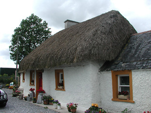 The Cottagehouse · 1.0 mi
 European ashEuropean ash · 1.9 mi
 St. Mary's Famine and War MuseumMuseum · 2.1 mi
 Famine & War MuseumMuseum · 2.1 mi
 WoodlandWood · 2.9 mi
 Pallas HillMountain / peak · 6.6 mi
 KnockaneMountain / peak · 7.0 mi
Other information
Photo: Credit not shown in the picture search · Rights wording not checked; contact us if this picture should be removed