
What is recorded here
Situated on a gentle SW-facing slope, adjacent to Drish River which flows to the W of the site, in pasture. Depicted as a roughly oval enclosure defined by trees/outcrop on the 1st ed. (1843) OS 6-inch map but not indicated on the 1952-3 ed. where outcrop is indicated in this vicinity. The area is used as a dump with mounds of rubble among some scrub and the ground is very uneven. Barn/sheds have been built on or near the NE quadrant of the site. Not visible at ground level. Of doubtful antiquity.
The above description is derived from 'The Archaeological Inventory of County Tipperary. Vol. 1 - North Tipperary' compiled by Jean Farrelly and Caimin O'Brien (Dublin: Stationery Office, 2002). In certain instances the entries have been revised and updated in the light of recent research.
Date of upload/revision: 22 September 2008
The monument record does not grant public access. Check the route and ask the landowner before entering private land.
- What survives
- Recorded monument
Places near here
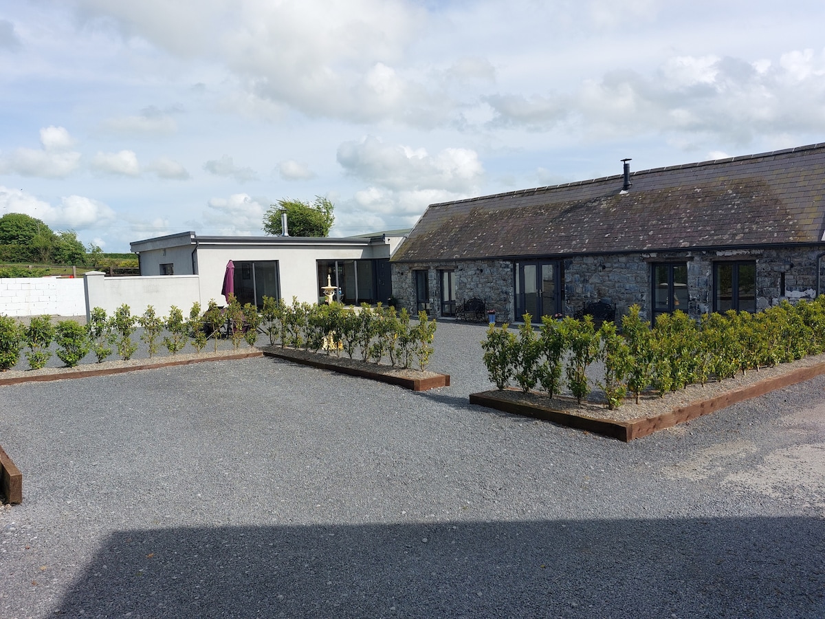 Enclosure in Athnid BegEnclosure · 932 yd
 Enclosure in RathcriddogeEnclosure · 1011 yd
 Church (in Ruins)Church · 1175 yd
 Rahelty CastleCastle · 1715 yd
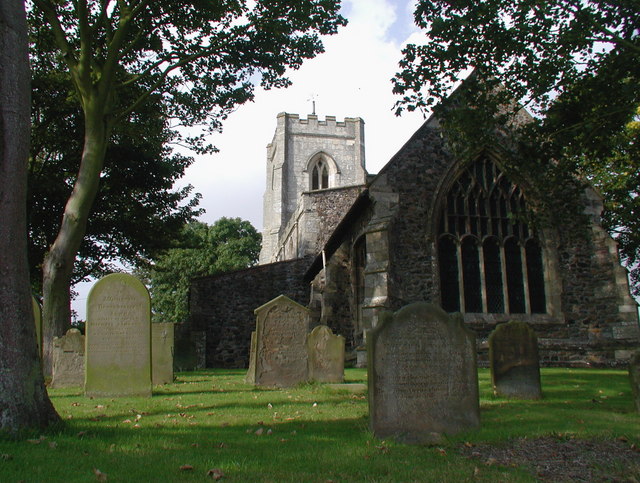 Rahelty Church (in Ruins), Grave YardChurch · 1.0 mi
 Site of CastleCastle, unclassified · 1.6 mi
 St. Mary's Famine and War MuseumMuseum · 3.1 mi
 Famine & War MuseumMuseum · 3.2 mi
 WoodlandWood · 3.8 mi
 Byrnes's WoodsForest · 3.9 mi
 Horse and JockeyVisitor information · 7.2 mi
 Killough Hill (site of)Mountain / peak · 8.0 mi
Other information
Photo: Credit not shown in the picture search · Rights wording not checked; contact us if this picture should be removed