
What is recorded here
Marked on the 1839 and 1925 Eds of the OS 6-inch map and described in gothic lettering as Church in ruins on both. It is located on a small SE-NW spur and is just on the N side of an E-W section of a minor N-S road. Sections of the N and S walls (max. L 5m; max. H 1.2m) 6.1m apart and faint traces of other walls to the E (total L 10.5m) survive. There is no evidence of burial or of an enclosure in an area with some mature trees. The site of Tober Shivaun (WX041-018----) is c. 280m to the N.
The above description is derived from the published 'Archaeological Inventory of County Wexford' (Dublin: Stationery Office, 1996). In certain instances the entries have been revised and updated in the light of recent research.
Compiled by: Michael Moore
Date of upload/revision: 19 March, 2013
The monument record does not grant public access. Check the route and ask the landowner before entering private land.
- What survives
- Recorded monument
Places near here
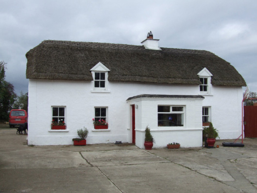 farm housefarm house · 105 yd
 TobershivaunHoly well · 295 yd
 Enclosure in Ardenagh GreatEnclosure · 802 yd
 Site of CastleCastle, unclassified · 970 yd
 CastleCastle, tower house · 1480 yd
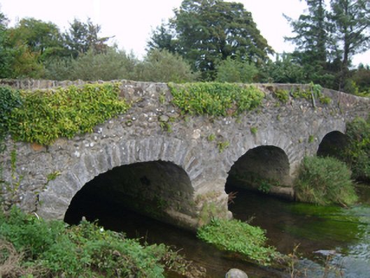 Goff's Bridgebridge · 1.3 mi
 Coolcliffe HouseRuins · 1.7 mi
 Carrig-On-BannowVisitor information · 4.7 mi
 1798 MemorialMemorial · 4.8 mi
 Carrickbyrne HillMountain / peak · 5.9 mi
 Cullenstown StrandBeach / strand · 6.0 mi
 Glenour MonumentMemorial · 6.2 mi
Other information
Photo: Credit not shown in the picture search · Rights wording not checked; contact us if this picture should be removed