
What is recorded here
Ardenagh Great castle vanished before most maps drew it, leaving only a five-metre ghost rectangle on paper and a empty slope beside ordinary farms. William or Alison Hore may have stood there in 1640, repairing stones and managing three hundred acres, while Traceystown answered him elsewhere. The land kept the shape long after the building forgot it.
Marked fainly as a rectangular structure (dims c. 5m x c. 5m) on the 1839 ed. of the OS 6-inch map and described as the site of a castle on it and the 1925 ed. References to a castle at Ardenagh date only from the Civil Survey (1654-6) when a small castle in repair and 300 acres were recorded as the property of William or Alison Hore in 1640, and William also owned Traceystown castle (WX041-002----) and 300 acres there (Simington 1953, 84). It is situated on a gentle E-facing slope, but there are no visible remains of a structure at ground level on the N side of a farm complex.
The above description is derived from the published 'Archaeological Inventory of County Wexford' (Dublin: Stationery Office, 1996). In certain instances the entries have been revised and updated in the light of recent research.
Compiled by: Michael Moore
Date of upload/revision: 19 March, 2013
This remains an important historical record, but the official description says the monument is no longer visible or has been destroyed. The monument record does not grant public access. Check the route and ask the landowner before entering private land.
- What survives
- No visible remains or recorded as destroyed
Places near here
 Enclosure in Ardenagh GreatEnclosure · 197 yd
 Church (in ruins)Church · 970 yd
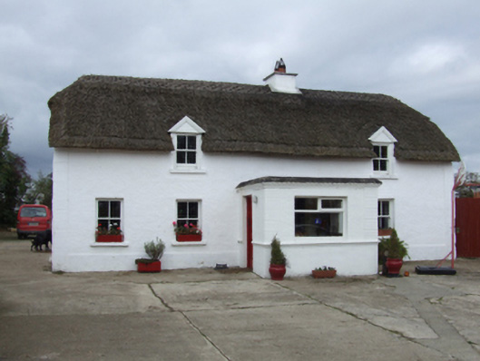 farm housefarm house · 1000 yd
 TobershivaunHoly well · 1205 yd
 CastleHouse, fortified house · 1.4 mi
 Bawn in Tracystown WestBawn · 1.7 mi
 Carrig-On-BannowVisitor information · 4.5 mi
 1798 MemorialMemorial · 4.5 mi
 Cullenstown StrandBeach / strand · 5.7 mi
 Ballymadder PointHeadland · 6.3 mi
 Blackhall StrandBeach / strand · 6.3 mi
 Bridges ChamberCave · 6.5 mi
Other information
Photo: Credit not shown in the picture search · Rights wording not checked; contact us if this picture should be removed