What is recorded here
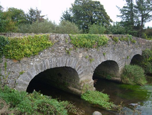
Three-arch road bridge over river, extant 1798. Part creeper- or ivy-covered walls centred on triangular cutwaters to piers to upriver (north) elevation having moss-covered pyramidal capping with rubble stone coping to parapets. Series of three elliptical arches with lichen-spotted voussoirs. Sited spanning river with unkempt banks to river.
A bridge representing an integral component of the eighteenth-century civil engineering heritage of south County Wexford: meanwhile, a discreet benchmark remains of additional interest for the connections with cartography and the preparation of maps by the Ordnance Survey (established 1824). NOTE: A recent plaque (1998) commemorates 'the men who fought and died at the Battle of Goffsbridge [sic]' (cf. 15704014).
This does not grant access. Most recorded buildings are privately owned; view them only from public ground unless the owner allows entry.
Places near here
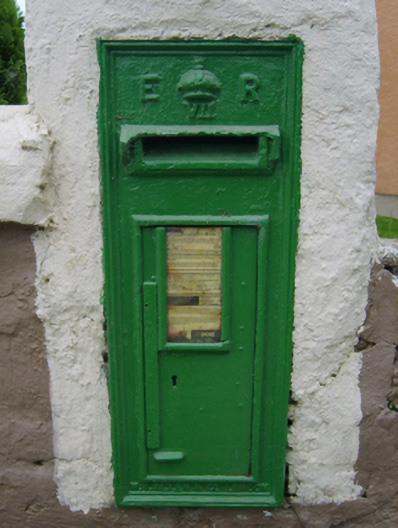 post boxpost box · 336 yd
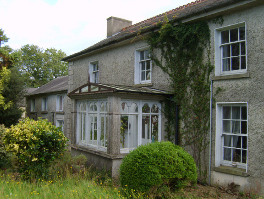 farm housefarm house · 506 yd
 CastleCastle, tower house · 1222 yd
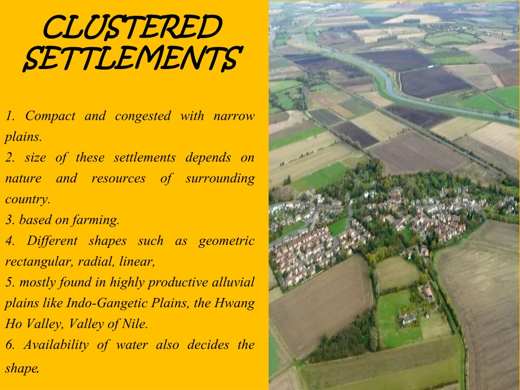 Settlement cluster in CoolcliffeSettlement cluster · 1574 yd
 Enclosure in CoolcliffeEnclosure · 1730 yd
 Bawn in Tracystown WestBawn · 1.2 mi
 Carrickbyrne HillMountain / peak · 4.8 mi
 Camaross HillMountain / peak · 4.9 mi
 Carrig-On-BannowVisitor information · 5.1 mi
 1798 MemorialMemorial · 5.1 mi
 Glenour MonumentMemorial · 5.4 mi
 Cullenstown StrandBeach / strand · 6.6 mi
Other information
Photo: National Inventory of Architectural Heritage · Website use allowed for educational or private purposes with source credit