What is recorded here
Situated on a W-facing slope. The cropmark of a subrectangular enclosure (dims c. 30m x c. 30m) defined by two closely-spaced fosse features, the inner being more pronounced than the outer, is visible on aerial photographs (WX041-066_1 to _ 4). WX041-066----_1.jpg from NW
Compiled by: Michael Moore
Date of upload: 19 March, 2013
From the National Monuments Service (Archaeological Survey of Ireland) record WX041-066
The monument record does not grant public access. Check the route and ask the landowner before entering private land.
- What survives
- Recorded monument
Places near here
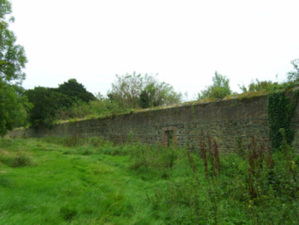 Coolcliffe HouseWalled garden · 296 yd
 Coolcliffe HouseGates/railings/walls · 313 ydCoolcliffe HouseRuins · 404 yd
 Black Castle (in ruins)Castle, tower house · 2.8 mi
 IndicatedBawn · 2.9 mi
 Font in BallyconnickFont · 5.2 mi
 Carrickbyrne HillMountain / peak · 5.4 mi
 Windmill5.5 mi
 Cullenstown StrandBeach / strand · 5.7 mi
 Blackhall StrandBeach / strand · 5.9 mi
 Keeragh IslandsIsland · 6.9 mi
 Baginbun HeadHeadland · 9.5 mi
Pictures: National Inventory of Architectural Heritage; Mike Searle, Geograph · CC BY-SA 2.0; Andreas F. Borchert, Wikimedia Commons · CC BY-SA 4.0; Richard Webb, Geograph · CC BY-SA 2.0; Oliver Dixon, Geograph · CC BY-SA 2.0
More archaeology and monuments in County Wexford · All of County Wexford
What do you know about this place?