
What is recorded here
The following description is derived from both the published 'Archaeological Inventory of County Louth' (Dublin: Stationery Office, 1986) and the 'Archaeological Survey of County Louth' (Dublin: Stationery Office, 1991). In certain instances the entries have been revised and updated in the light of recent research.
Date of upload/revision: 17 July 2007
Small flat-topped hillock known locally as 'Church Field' (CLAJ 1943, 203).
The monument record does not grant public access. Check the route and ask the landowner before entering private land.
- What survives
- Recorded monument
Places near here
 Man-made underground passage in BroadloughMan-made underground passage · 1275 yd
 Fulacht fia in BroadloughFulacht fia · 1370 yd
 The LissCastle, motte · 1375 yd
 European BeechEuropean Beech · 1483 yd
 English hollyEnglish holly · 1485 yd
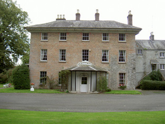 Red Housecountry house · 1509 yd
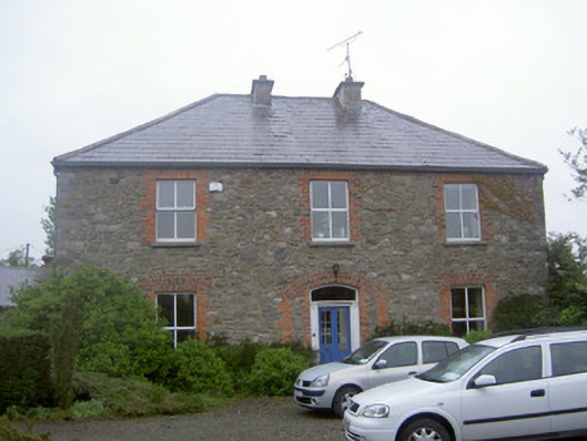 Greenvale Housemill manager's house · 1628 yd
 Dawsons MoatCastle, motte and bailey · 1.0 mi
 Sir Frederick Foster MemorialMemorial · 1.2 mi
 Graveyard in StickillinGraveyard · 1.2 mi
 Mount OrielMountain / peak · 5.5 mi
 Drummeenagh HillMountain / peak · 5.5 mi
Other information
Photo: Credit not shown in the picture search · Rights wording not checked; contact us if this picture should be removed