
What is recorded here
Bowman (1934, 660) recorded church site and burial ground (14154) on J. Daly's farm in field called 'the Chapel Field. The site is circular (diam. 32yds), covers about half an acre, and is c. 2 feet higher than the field level. The surrounding fence is levelled. Grass-covered mounds mark the site of the chapel.' According to local information, in same field as holy well (14028). No visible surface trace. According to Ó Drisceoil (1934, 24), field immediately to E of holy well called 'Páirc an tSéipéil (chapel field) [and] although there is no trace of a building, local tradition states that there was a place of worship here.'
The above description is derived from the published 'Archaeological Inventory of County Cork. Volume 4: North Cork' (Dublin: Stationery Office, 2000). In certain instances the entries have been revised and updated in the light of recent research.
Date of upload/revision: 14 January 2009
This remains an important historical record, but the official description says the monument is no longer visible or has been destroyed. The monument record does not grant public access. Check the route and ask the landowner before entering private land.
- What survives
- No visible remains or recorded as destroyed
Places near here
 Corn Mills (in Ruins)Mill, corn · 394 yd
 Fulacht fia in Nohaval UpperFulacht fia · 501 yd
 Round Tower (Site of)Round tower · 1251 yd
 Nohaval WoodWood · 1446 yd
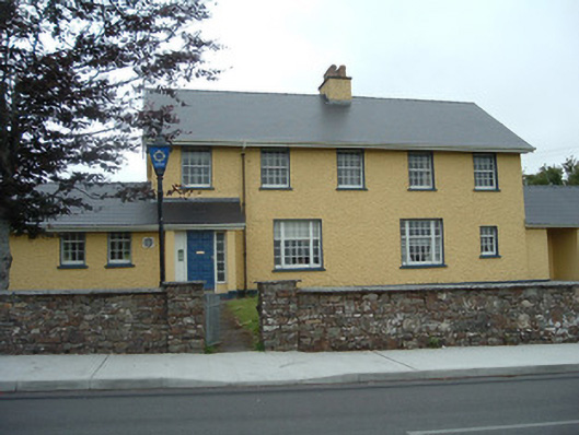 Knocknagree Garda Stationgarda station/constabulary barracks · 1.0 mi
 Barna BogForest · 5.7 mi
 Claragh MountainMountain / peak · 6.1 mi
 CurracahillMountain / peak · 6.2 mi
 BarraduffMemorial · 6.6 mi
 Kilmeedy CastleCastle, tower house · 7.3 mi
 Castle McAuliffe (Site of)Castle, unclassified · 9.9 mi
 Monsignor Hugh O'Flaherty MemorialMemorial · 14 mi
Other information
Photo: Credit not shown in the picture search · Rights wording not checked; contact us if this picture should be removed