What is recorded here
The following description is derived from both the published 'Archaeological Inventory of County Louth' (Dublin: Stationery Office, 1986) and the 'Archaeological Survey of County Louth' (Dublin: Stationery Office, 1991). In certain instances the entries have been revised and updated in the light of recent research.
Date of upload/revision: 17 July 2007
Roughly sub-circular enclosure, just SW of motte and bailey site (LH008-072----). Overgrown foundations of church (max. dims. 19m by 6m) in NW corner of graveyard. (CLAJ 1941, 14)
The monument record does not grant public access. Check the route and ask the landowner before entering private land.
- What survives
- Recorded monument
Places near here
 Newtown Burying GroundGraveyard · 18 yd
 Mount Bagnell FoerCastle, motte and bailey · 154 yd
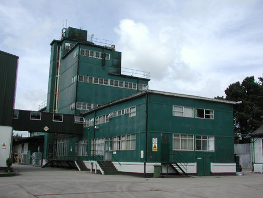 factoryfactory · 558 yd
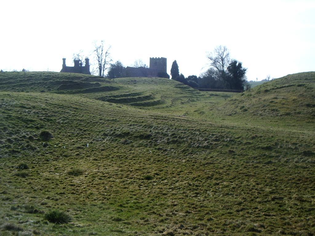 CastleCastle, motte · 928 yd
 Enclosure in CastletowncooleyEnclosure · 1034 yd
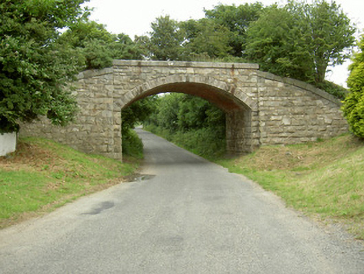 bridgebridge · 1117 yd
 The BushPicnic place · 1.4 mi
 Grange UpperMountain / peak · 1.5 mi
 SlievenagloghMountain / peak · 1.8 mi
 Carlingford - Loop 1A- Commons LoopWalking route · 3.1 mi
 Carlingford Heritage CentreVisitor information · 3.4 mi
 Graveyard in Liberties OF CarlingfordGraveyard · 3.4 mi