What is recorded here
A church at Kiltale and Derrypatrick is listed in the ecclesiastical taxation (1302-06) of Pope Nicholas IV (Cal. doc. Ire., 5, 255), but it probably refers to the church at Derrypatrick (ME043-010----). The Augustinian abbey of St Thomas in Dublin (DU018, 020051-) was paying for a curate at Derrypatrick and Kiltale at its suppression in 1540 (White 1943, 46). Ussher (1620) describes separate churches at these locations and says that the church and chancel at Kiltale are ruined (Erlington 1847-64, 1, lxxix). A ‘ruinated church’ is recorded at Kiltale in the Civil Survey (1654-6) (Simington 1940, 143). According to Dopping (1682-5) the walls of the church and chancel at Kiltale were standing but it had been roofless since 1641 and the graveyard was not enclosed (Ellison 1972, 5). The church is marked on the Down Survey (1656-8) map of Deece barony, but it did not survive to be marked on the 1836 ed. of the OS 6-inch map, so its location is not known, although two glebes or portions of church land are indicated on the map on the SE side of a NE-SW road, just NE and SW of the excavated site (ME037-025----). For the Down Survey map see this web-page accessed on 26 February, 2015: http://downsurvey.tcd.ie/down-survey-maps.php#bm=Deece&c=Meath
Compiled by: Michael Moore
Date of upload: 13 April, 2015
The monument record does not grant public access. Check the route and ask the landowner before entering private land.
- What survives
- Recorded monument
Places near here
 Railway Woods (North)Forest · 1649 yd
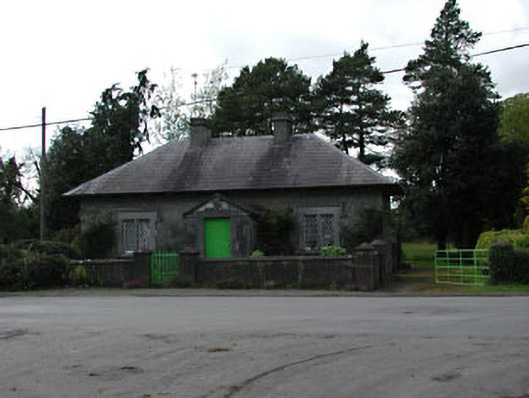 worker's houseworker's house · 1682 yd
 Derrypatrick RathEnclosure · 1.2 mi
 Duck Pond WoodWood · 1.2 mi
 Enclosure in Athronan (deece Lower By.)Enclosure · 1.3 mi
 Dunsany CastleCastle, unclassified · 1.6 mi
 AbbeyChurch · 1.7 mi
 Galtrim MoatCastle, motte · 2.2 mi
 Battle of Tara (Ireland)Major battlefield · 3.8 mi
 Battle of Tara Hillbattle · 3.8 mi
 Saint Patrick'sMemorial · 4.0 mi
 Tara Open StudioGallery · 4.1 mi