
What is recorded here
From the National Monuments Service (Archaeological Survey of Ireland) record DU022-025001
Places near here
Photo credits
- Maker not stated on source page, www.tripadvisor.com.au
- National Inventory of Architectural Heritage
- Maker not stated on source page, www.pinterest.com
- Deitel55, Wikimedia Commons · CC BY-SA 3.0
- Maker not stated on source page, ca.pinterest.com
- Maker not stated on source page, visitdublincity.com
- Maker not stated on source page, in.pinterest.com
- Maker not stated on source page, nexusnewsfeed.com
- Maker not stated on source page, www.theirishplace.com
 Graveyard in KillininnyGraveyard · 1 yd
Explorer Tom Graveyard in Killininny is a bit of a mystery because an excavation in 1990 found nothing but two pottery sherds. They…
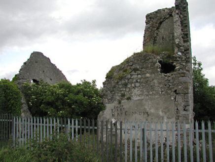 Allenton HouseCountry house · 1 yd
Explorer Tom Allenton House is the remains of a medieval tower and country house, dating back to c.1700. It’s ruinous now, but still…
 St. Annes GAAGAA ground · 445 yd
 Oldbawn BridgeBridge · 515 yd
Explorer Tom Oldbawn Bridge over the River Dodder has been widened in 1980 because apparently one arch wasn’t enough for all our…
 Bridge in OldbawnBridge · 516 yd
Explorer Tom Bridge in Oldbawn, County Dublin replaced an older three-arch bridge back in 1840, probably because the old one was too…
 weir522 yd
Explorer Tom The weir in Oldbawn probably took about five hundred cups of tea to build, judging by the amount of energy left in the…
 Waterfall viewing pointVisitor attraction · 551 yd
Explorer Tom Waterfall viewing point in County Dublin is where you go to watch water fall down. It seems incredibly obvious, doesn't…
 Bohernabreena CemeteryCemetery · 838 yd
Explorer Tom Bohernabreena Cemetery in County Dublin would survive a zombie attack by simply standing still and looking boring until…
 Thomas Davis GAAGAA ground · 879 yd
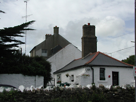 Glenville HouseFarm house · 893 yd
Explorer Tom Glenville House in Oldbawn has a family tree that is mostly made up of uncles who never actually existed but are very…
 Fairy fort / ringfort in BohernabreenaFairy fort / ringfort · 1177 yd
Explorer Tom Fairy fort / ringfort in Bohernabreena is steeply sloping grassland where the rabbits think they’re the new owners…
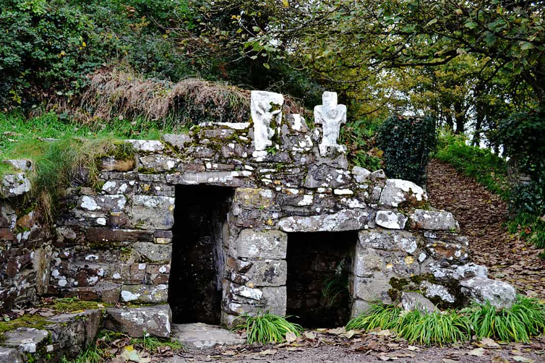 Holy well in Tallaght,oldbawnHoly well · 1442 yd
Explorer Tom Holy well in Tallaght, Oldbawn was the Chapel Well that cured headaches and indigestion with its blessed trout. It got…
More historic places in County Dublin · All of County Dublin

What do you know about this place?Tap to add a comment or ask a question