What is recorded here
On a rise on a S-facing slope within an ecclesiastical enclosure (CL015-059001-). The site is overlooked by higher ground to the N, with panoramic views to the S and W. The church is not indicated on the 1840 and 1916 eds. OS 6-inch maps but its outline is clearly visible on OSi MapGenie orthophotography (2013-2018)…
Read the whole record
From the National Monuments Service (Archaeological Survey of Ireland) record CL015-059002
Places near here
Photo credits
- Maker not stated on source page, ru.pinterest.com
- Maker not stated on source page, en.wikipedia.org
- National Inventory of Architectural Heritage
- N Chadwick, Geograph · CC BY-SA 2.0
- Bob Jones, Wikimedia Commons · CC BY-SA 2.0
- KevForkan, Wikimedia Commons · CC BY-SA 4.0
- Maker not stated on source page, tr.pinterest.com
- Maker not stated on source page, en.m.wikipedia.org
- Maker not stated on source page, commons.wikimedia.org
- Maker not stated on source page, www.tripadvisor.ru
 Stone head in KillaspuglonaneStone head · 141 yd
Explorer Tom Stone head in Killaspuglonane was found beside a holy well and looks like it’s mid-sentence about something deeply…
 Enclosure in KillaspuglonaneEnclosure · 491 yd
Explorer Tom Enclosure in Killaspuglonane is perched on a ridge, looking down on the river like it owns the whole valley. Its first…
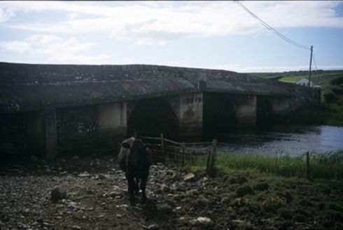 New BridgeBridge · 980 yd
Explorer Tom New Bridge in Ballingaddy West thinks it's the cool cousin because it has three arches instead of one. Its fan club…
 Castle (in ruins)Castle, tower house · 1222 yd
Explorer Tom Castle in Dough is sitting on sand dunes next to a golf course. I bet the caddies used it as a locker room back in the…
 Dough CastleRuins · 1223 yd
Explorer Tom Dough Castle has a name that sounds ready for baking, but its first job was watching traffic by the Inagh estuary. The…
 O'Brien's BridgeBridge · 1262 yd
Explorer Tom O'Brien's Bridge in Ballyellery, Dough (Corcomroe), County Clare is all cut-stone show-off energy from 1836. It crossed…
 Standing stone in KillaspuglonaneStanding stone · 1315 yd
Explorer Tom Standing stone in Killaspuglonane is being used as a scratching post by local sheep, which feels like a personal insult…
 Enclosure in BallyfaudeenEnclosure · 1321 yd
Explorer Tom Enclosure in Ballyfaudeen smells like wet socks and ancient regret, which fits perfectly given it is basically just a…
 Fairy fort / earthen ringfort in BallyfaudeenFairy fort / earthen ringfort · 1375 yd
Explorer Tom Fairy fort / earthen ringfort in Ballyfaudeen is sitting on a low rise with good views, which is arrogant for a hole in…
 Standing stone in Ballingaddy WestStanding stone · 1512 yd
Explorer Tom Standing stone in Ballingaddy West got lost on purpose because it saw a Viking ship and wanted to see what was behind…
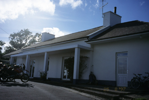 Sandfield LodgeHouse · 1567 yd
Explorer Tom Sandfield Lodge in Knocknaraha has been extended more times than my excuses for not calling Mum. It’s a house that just…
 Kilmacreehy CemeteryGraveyard · 1.6 mi
Explorer Tom Kilmacreehy Cemetery caused such a massive row last year over who owned the corner plot that half the parish still…
More historic places in County Clare · All of County Clare

What do you know about this place?Tap to add a comment or ask a question