What is recorded here
Price (1946, 98-9) mentions a field in this townland called 'the churchyard field' which had traces of banks in one corner, and an adjacent field known as 'the Kill Park'. The exact location of this monument is unknown.
The above description is derived from the published 'Archaeological Inventory of County Wicklow' (Dublin: Stationery Office, 1997). In certain instances the entries have been revised and updated in the light of recent research.
Compiled by: Jean Farrelly
Date of upload: 08 October 2012
The monument record does not grant public access. Check the route and ask the landowner before entering private land.
- What survives
- Recorded monument
Places near here
 Enclosure in Kilcarney LowerEnclosure · 852 yd
 Enclosure in Slievenamough PlainEnclosure · 1.5 mi
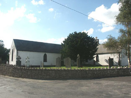 Knockananna Catholic Churchchurch/chapel · 1.6 mi
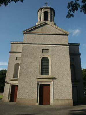 Saint Mary's Catholic Churchchurch/chapel · 2.1 mi
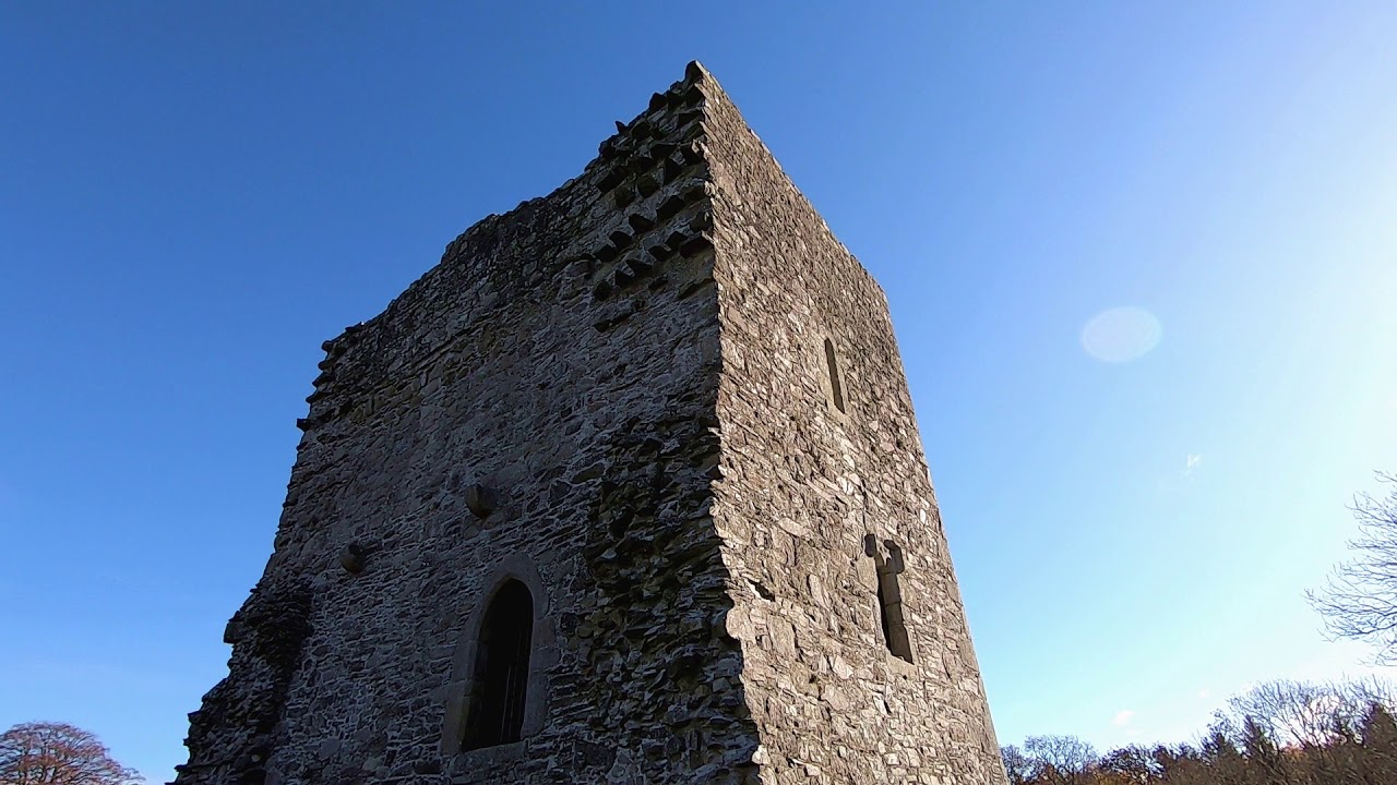 CastleCastle, motte · 2.1 mi
 Sessile OakSessile Oak · 2.5 mi
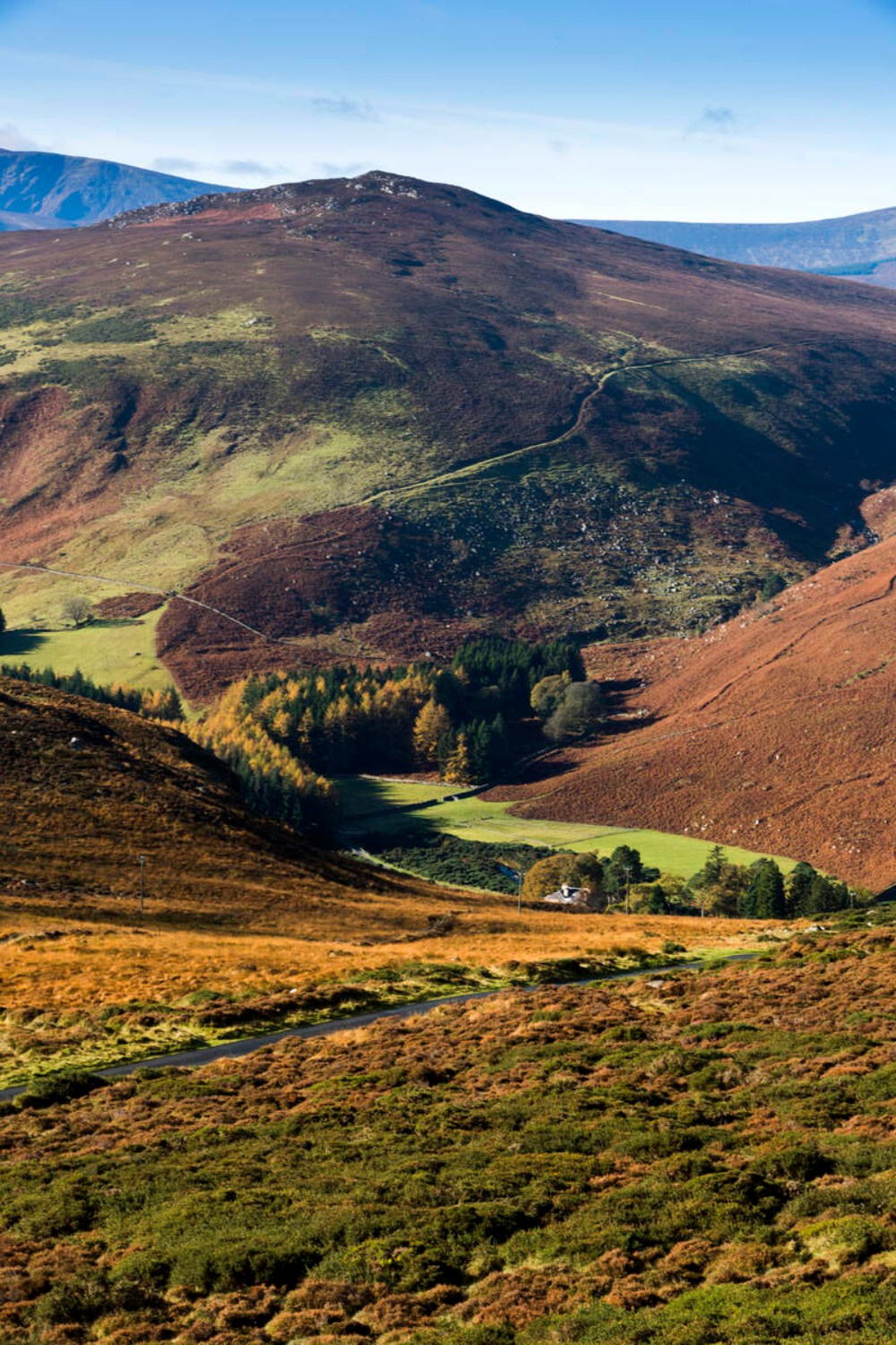 Ballycurragh HillMountain / peak · 3.1 mi
 The Stripped FlagsNamed rock · 3.4 mi
 Eagle HillMountain / peak · 3.7 mi
 Chapel (in ruins), GraveyardChurch · 4.3 mi
 The Black StairsNamed rock · 4.4 mi
 Luke O'Toole MemorialMemorial · 4.8 mi