What is recorded here
Situated in a fold on a S-facing slope overlooking the Cappagh valley, in mixed woodland. According to Power (1952, 144) there is an early church site associated with the holy well (WA030-061003-), but there is no evidence of this.
Power, Rev. P. (1952) The placenames of the Decies. (second ed.) Cork University Press.
Date of upload/revision: 11th August, 2011. Compiled by: Michael Moore.
The monument record does not grant public access. Check the route and ask the landowner before entering private land.
- What survives
- Recorded monument
Places near here
 Cross in InchindrislaCross · 440 yd
 IndicatedHoly well · 598 yd
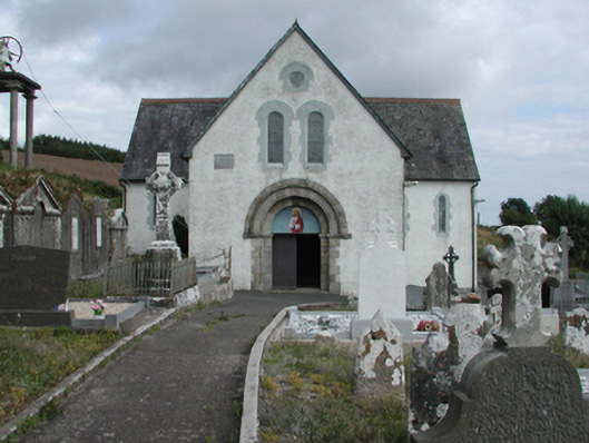 Saint Gobnait's Catholic Churchchurch/chapel · 1332 yd
 farm housefarm house · 1487 yd
 Master McGrathMemorial · 1681 yd
 Castle (in ruins)Castle, tower house · 1.6 mi
 CastleCastle, motte · 2.4 mi
 Grattan SquareVisitor information · 2.8 mi
 Waterford County MuseumMuseum · 2.9 mi
 Dungarvan World War I MemorialMemorial · 2.9 mi
 Dungarvan CastleCastle · 2.9 mi
 Horse-chestnutHorse-chestnut · 3.0 mi