
What is recorded here
Situated on a gradual SE-facing slope in gently undulating terrain, under tillage. The earlier placename for the village was Ceall Uachta Lawyne or Lamund meaning 'the upper church (or small) church (in the territory) of Lamund' (Stevens 2001). Two widely spaced curving cropmarks were identified on an aerial photograph (ASIAP 43 (10-17) 11/8/96) immediately E of the disused nineteenth-century C of I church at the northern end of the village. These presumably formed the bivallate enclosing element of a large circular or oval enclosure (TN047-110001). It is possible that these originally surrounded an Early Christian church or monastic site, no trace of which survives above ground. The SE portion of the enclosure has been built over and possibly destroyed by the Sue Ryder complex and a playing field behind the present school.
In 2000 archaeological excavation at the Church of Ireland building by Paul Stevens revealed no archaeological features. Carried out under licence No. 00E0634 (Bennett 2002, 321-2).
The above description is derived from 'The Archaeological Inventory of County Tipperary. Vol. 1 - North Tipperary' compiled by Jean Farrelly and Caimin O'Brien (Dublin: Stationery Office, 2002). In certain instances the entries have been revised and updated in the light of recent research.
Date of upload/revision: 22 September 2008
A local church or high cross; wider significance not recorded.
The monument record does not grant public access. Check the route and ask the landowner before entering private land.
- What survives
- Recorded monument
Places near here
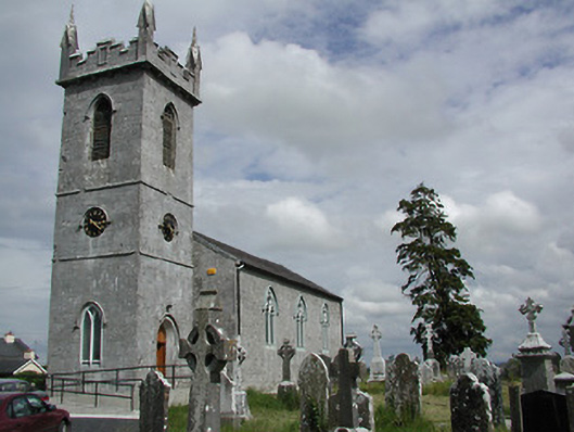 Holycross Churchchurch/chapel · 64 yd
 Church Househouse · 145 yd
 Abbey WellHoly well · 374 yd
 Enclosure in GraiguenoeEnclosure · 826 yd
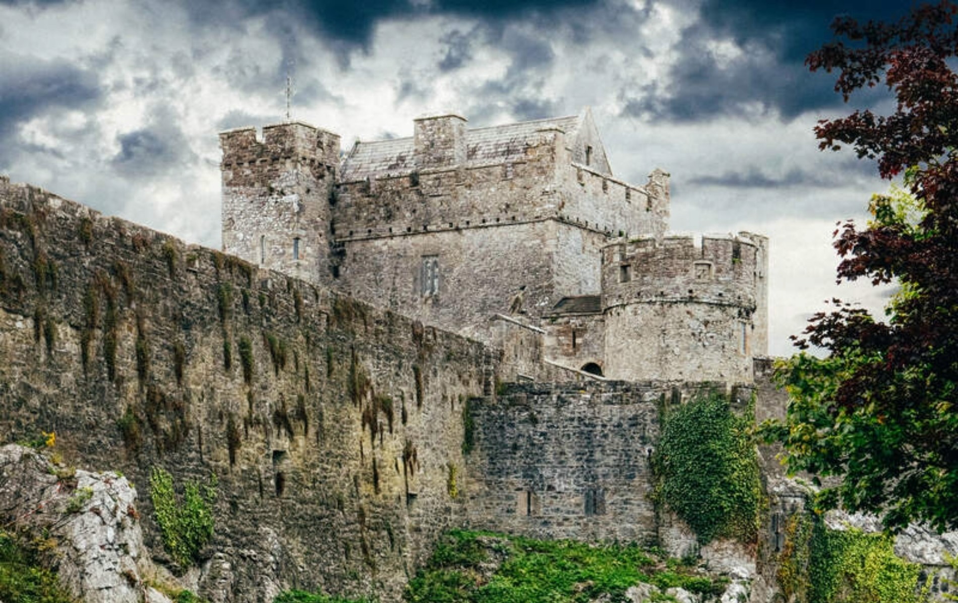 Castle (Site of)Castle, unclassified · 830 yd
 Beakstown HouseCastle, unclassified · 1181 yd
 Cormackstown Heritage CentreMuseum · 1.5 mi
 Killough Hill (site of)Mountain / peak · 2.6 mi
 Wildlife CorridorWood · 3.0 mi
 WoodlandWood · 3.4 mi
 Lár na PáirceMuseum · 3.5 mi
 Clonoulty HillMountain / peak · 4.5 mi
Other information
Photo: Credit not shown in the picture search · Rights wording not checked; contact us if this picture should be removed