What is recorded here
In undulating pasture, on a low rise. Ground dips gently to E towards a roughly N−S stream/drain.
A rectangular E−W building is shown at a ‘Burial Ground’ on the 1838 OS 6-inch map but is not named as a church; the building is not shown on the 1916 edition where a ‘Children’s Burial Ground’ (MA102-008002) is indicated. It is known locally as Kilmullin church (SMR file: pers. comm. Gerry Cribbin).
The remains consist of a ruined rectangular stone building (c. 12m E–W; c. 6m N–S). The W wall (L c. 5.8m N−S; T 0.8m) is the best preserved, surviving to a height of 2.4m. It is constructed of roughly coursed, mortared sandstone blocks, with large blocks forming the basal courses, alternating with courses of thinner, horizontally laid slabs. However much of the internal and external wall facing has collapsed. A dilapidated central break (Wth c. 0.9m) in the wall appears to be the remains of a doorway.
Short returns of the S and N walls survive at the NW and SW angles of the W wall. The remainder of the N wall is reduced to grass-covered wall footings/stone-faced scarp (ext. H 0.8m). The S wall is incorporated into the line of an E–W property wall. The E wall is evident as a broadly slumped, sod-covered stony scarp.
The children’s burial ground (MA102-008002-) abuts the S wall of the church, extending the full E-W length of the church.
Partly obscured by overgrowth/clumps of brambles.
Compiled by: Jane O’Shaughnessy
Date of upload: 4 October 2022
The monument record does not grant public access. Check the route and ask the landowner before entering private land.
- What survives
- Recorded monument
Places near here
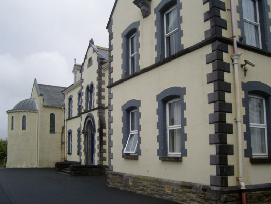 Saint Joseph's Convent of Mercyconvent/nunnery · 1701 yd
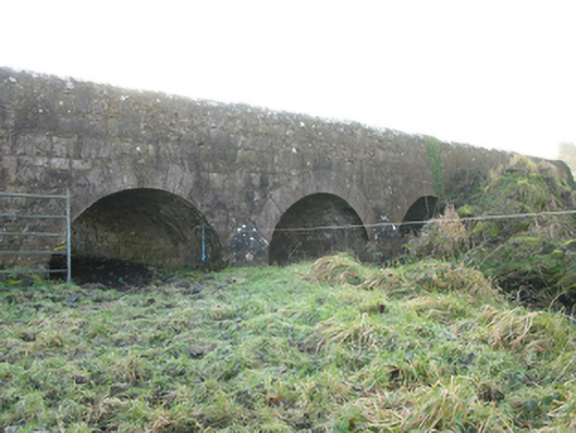 Agloragh Bridgebridge · 1753 yd
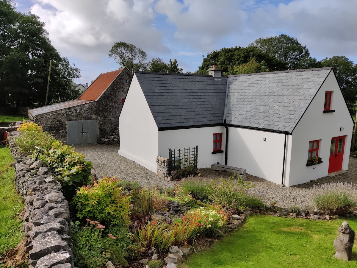 Enclosure in DevlisEnclosure · 1.0 mi
 Cross in Holywell LowerCross · 1.6 mi
 IndicatedCastle, motte · 2.3 mi
 CastleCastle, unclassified · 4.0 mi
 Oak WoodForest · 9.6 mi
 Land of the GiantsHeritage attraction · 10.0 mi
 Geoffrey's WoodForest · 10 mi
 Mass RockNamed rock · 17 mi
 bridgebridge · 1757 yd
 Ballyhaunis Railway Stationbuilding misc · 1.0 mi