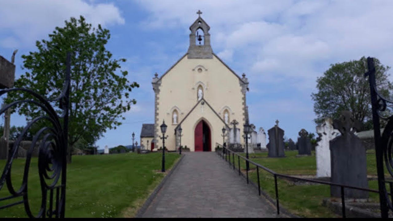
What is recorded here
The site of the parish church of Duncormick is at the W edge of a plateau overlooking a N-S stream c. 170m to the W. It is within a rectangular graveyard (dims c. 60m E-W; c. 40-50m N-S) defined by masonry walls, and was replaced by the Church of Ireland church c. 1810 (O'Flanagan 1933, vol. 2, 209). According to a…
Read the whole record
From the National Monuments Service (Archaeological Survey of Ireland) record WX046-057001
Places near here
Photo credits
- National Inventory of Architectural Heritage
- Maker not stated on source page, en.wikipedia.org
- Maker not stated on source page, uk.pinterest.com
- Maker not stated on source page, tr.pinterest.com
- Maker not stated on source page, www.thinkbusiness.ie
- Maker not stated on source page, commons.wikimedia.org
- kevin higgins, Geograph · CC BY-SA 2.0
- Maker not stated on source page, readymap.irish
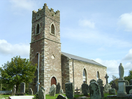 Saint Peter's Catholic ChurchChurch/chapel · 1 yd
Explorer Tom Saint Peter's Church in Duncormick is where the rabbits go to think about their own mortality between hops. The lay…
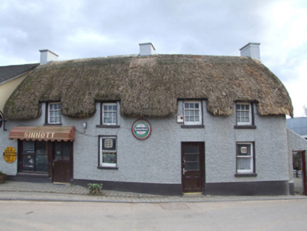 SinnottFarm house · 103 yd
Explorer Tom Sinnott in Duncormick has a bird that refuses to leave, even when it's snowing inside. The farmhouse is so compact it…
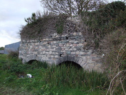 kiln122 yd
Explorer Tom Kiln in Duncormick is a lime kiln that the local sheep have decided is their personal scratching post. It’s part of…
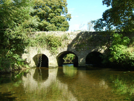 bridge202 yd
Explorer Tom Bridge in Duncormick has been hiding a scandal since the eighteenth century, likely involving a very wet horse. It also…
 Castle (Site of)Ruins · 277 yd
Explorer Tom If this Castle was on a reality show, it would win by doing absolutely nothing for six weeks. The judges hate it, but…
 Inscribed stone in Duncormick HillInscribed stone · 393 yd
Explorer Tom Inscribed stone in Duncormick Hill was pulled out of a well during a concrete installation job, looking like it had…
 Fairy fort / earthen ringfort in DuncormickFairy fort / earthen ringfort · 588 yd
Explorer Tom Fairy fort in Duncormick is invisible from the ground, which is perfect if you want to avoid awkward small talk with…
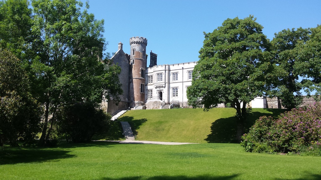 CastleCastle, unclassified · 1.5 mi
Explorer Tom Castle in Ambrosetown is having a bit of a family feud over who actually owns the view, which is weird because there…
 Rathangan New CemeteryCemetery · 1.6 mi
Explorer Tom Rathangan New Cemetery is having a massive hissy fit about modern architecture. It thinks your phone case is an insult…
 Ambrosetown GraveyardGraveyard · 1.6 mi
Explorer Tom Ambrosetown Graveyard would post a selfie caption that says 'Deep thoughts and shallow roots,' which is honestly quite…
 Cull IslandIsland · 1.6 mi
Explorer Tom Cull Island smells like wet wool and regret, according to my nose which I trust implicitly. It’s an island that only…
 St. Anne's GAA, RathanganGAA ground · 1.7 mi
More historic places in County Wexford · All of County Wexford

What do you know about this place?Tap to add a comment or ask a question