
What is recorded here
Situated on a level landscape extending E and N of the motte and bailey (WX046-035001-). An archaeological assessment and testing (02E0040) identified elements of a field system covering c. 0.75 ha in the vicinity of the site of Duncormick Lodge, which was extant on the 1839 ed. of the OS 6-inch map (Richardson 2003; 2007, 465, No. 1799).
Compiled by: Michael Moore
Date of upload: 19 August, 2013
The monument record does not grant public access. Check the route and ask the landowner before entering private land.
- What survives
- Recorded monument
Places near here
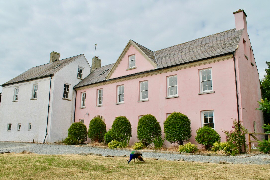 Embanked enclosureCastle, motte and bailey · 70 yd
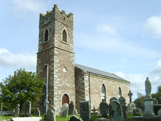 Saint Peter's Catholic Churchchurch/chapel · 94 yd
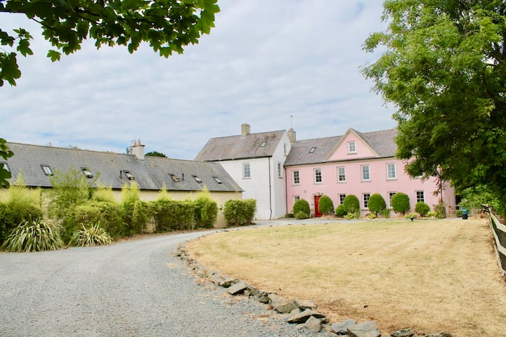
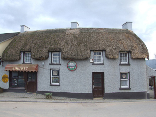 Sinnottfarm house · 98 yd
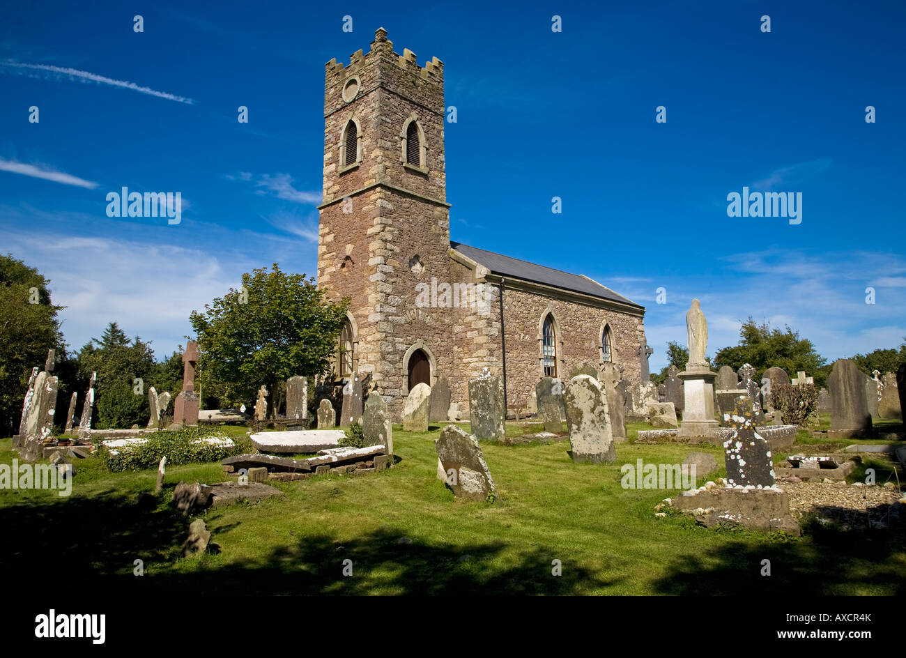 Ecclesiastical enclosure in DuncormickEcclesiastical enclosure · 114 yd
 Castle (in ruins)Castle, tower house · 224 yd
 IndicatedPromontory fort, inland · 247 yd
 Cull IslandIsland · 1.7 mi
 Ballyteigue BurrowNature reserve · 2.3 mi
 Cullenstown StrandBeach / strand · 2.9 mi
 Carrig-On-BannowVisitor information · 3.3 mi
 1798 MemorialMemorial · 3.3 mi
 Ballymadder PointHeadland · 3.8 mi
Other information
Photo: Credit not shown in the picture search · Rights wording not checked; contact us if this picture should be removed