What is recorded here
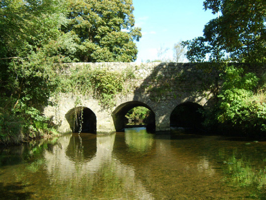
Three-arch road bridge over river, extant 1840. Creeper- or ivy-covered coursed rubble stone walls centred on triangular cutwaters to piers to upriver (north) elevation having shallow pyramidal capping with lichen-spotted rubble stone soldier course coping to parapets. Pair of round arches centred on single segmental…
Read the whole record
Three-arch road bridge over river, extant 1840. Creeper- or ivy-covered coursed rubble stone walls centred on triangular cutwaters to piers to upriver (north) elevation having shallow pyramidal capping with lichen-spotted rubble stone soldier course coping to parapets. Pair of round arches centred on single segmental arch with lichen-spotted voussoirs. Sited spanning Duncormick River with unkempt banks to river.
A bridge representing an integral component of the eighteenth-century civil engineering heritage of south County Wexford: meanwhile, a much weathered benchmark remains of additional interest for the connections with cartography and the preparation of maps by the Ordnance Survey (established 1824).
From the Buildings of Ireland (National Inventory of Architectural Heritage) record 15704632
Places near here
Photo credits
- National Inventory of Architectural Heritage
- kevin higgins, Geograph · CC BY-SA 2.0
- Pam Brophy, Wikimedia Commons · CC BY-SA 2.0
- kevin higgins, Wikimedia Commons · CC BY-SA 2.0
- Oliver Dixon, Geograph · CC BY-SA 2.0
- Andreas F. Borchert, Wikimedia Commons · CC BY-SA 4.0
- Mike Searle, Geograph · CC BY-SA 2.0
- Kenneth Allen, Geograph · CC BY-SA 2.0
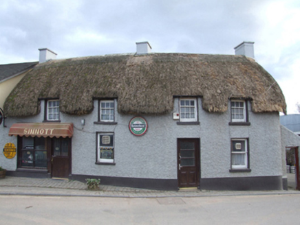 SinnottFarm house · 104 yd
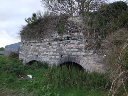 kiln140 yd
 Cull IslandIsland · 1.6 mi
 Coolhull CastleHouse, fortified house · 2.1 mi
 Ballyteigue BurrowNature reserve · 2.2 mi
 Windmill2.5 mi
 Cullenstown StrandBeach / strand · 2.8 mi
 Font in BallyconnickFont · 3.0 mi
 Danes Castle (in ruins)Castle, tower house · 3.6 mi
 Keeragh IslandsIsland · 4.0 mi
 Blackhall StrandBeach / strand · 4.1 mi
 Kilmore Quay Walking TrailVisitor information · 4.7 mi
More historic places in County Wexford · All of County Wexford

What do you know about this place?Tap to add a comment or ask a question