What is recorded here
In pasture, located on an E-facing slope which levels out at its base to a N–S strip of flat, damp ground. According to local tradition, this is the site of a church, although no building has been visible here within living memory. The location is difficult to examine as it is engulfed in a thicket of blackthorn and brambles. It appears to consist of a roughly rectangular, raised area (c. 25-30m E–W; c. 15-20m N–S) defined by a low slope or scarp at N, by a steeper, broader slope at E, and by an almost vertically-cut scarp at S. At W there is a gradual merging with the surrounding field but this side has been disturbed by a modern quarry pit (c. 12-14m N–S; c. 6-8m E–W; D. c. 1.5m). The footings of a curving rough stone wall (Wth 0.8m; H 0.1m) can be seen c. 5m to E of the quarry pit but, at the time of visit, overgrowth was too dense to allow it to be fully examined or interpreted. At the base of the slope on the E side of the rise, there is a bullaun stone (MA021-096002-).
Compiled by: Jane O'Shaughnessy
Date of upload: 24 September 2013
The monument record does not grant public access. Check the route and ask the landowner before entering private land.
- What survives
- Recorded monument
Places near here
 IndicatedFairy fort / earthen ringfort · 667 yd
 RathgraniaFairy fort / earthen ringfort · 987 yd
 bridgebridge · 1223 yd
 Carn Castle (in Ruins)Castle, unclassified · 1390 yd
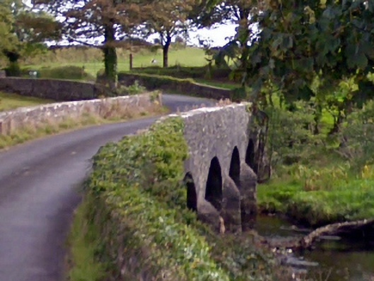 Ballintober Bridgebridge · 1.1 mi
 Rathroe CastleCastle · 2.0 mi
 Battle of Killalabattle · 5.5 mi
 Lisheen Grave YardArchaeological place · 5.8 mi
 Green IslandIslet · 5.9 mi
 Grave of the KingsArchaeological place · 6.2 mi
 Castle IslandIslet · 6.8 mi
 Céide FieldsArchaeological place · 11 mi