What is recorded here
Bullaun stones are associated with religious austerity and local memory. In Drumnanangle, the stone sits in pasture below a slope where tradition places a church, connecting the hollowed rock to a wider sacred landscape. Its worn basin and small side depression suggest repeated human use, perhaps for prayer, ritual washing or marking time before the church fell from sight.
In pasture, located at the base of an E-facing slope. At the top of the slope there is a raised area, which, according to local tradition, is the site of a church (MA021-096001-). Irregular or subrectangular-shaped stone block (L 0.8m N–S; Wth 0.7m; H c. 0.28m) embedded in the ground. A circular hollow (diam. 0.35m; D 0.25m) fills most of the space on the upper surface of the stone. The sides of the hollow are quite high and steep-sided, except at the N edge, where there is a roughly V-shaped notch so that on this side the hollow is enclosed only by low lip of stone. Immediately adjacent to the large hollow, on its S side, there is a smaller, very shallow, roughly oval depression (0.24m E–W; 0.14m N–S) on the surface of the stone.
Compiled by: Jane O'Shaughnessy
Date of upload: 24 September 2013
Probably dates to the early Christian period, associated with monastic or ritual activity. The bullaun stone may have been used for ritual purification or as a font in a nearby church site.
The monument record does not grant public access. Check the route and ask the landowner before entering private land.
- What survives
- Recorded monument
Places near here
 IndicatedFairy fort / earthen ringfort · 684 yd
 RathgraniaFairy fort / earthen ringfort · 964 yd
 bridgebridge · 1249 yd
 Carn Castle (in Ruins)Castle, unclassified · 1400 yd
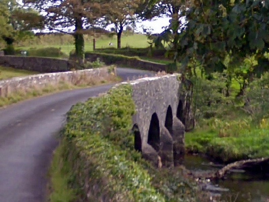 Ballintober Bridgebridge · 1.1 mi
 Rathroe CastleCastle · 2.0 mi
 Battle of Killalabattle · 5.5 mi
 Lisheen Grave YardArchaeological place · 5.8 mi
 Green IslandIslet · 5.9 mi
 Grave of the KingsArchaeological place · 6.2 mi
 Castle IslandIslet · 6.8 mi
 Céide FieldsArchaeological place · 11 mi