What is recorded here
The location of Kilbigly Church within the townland of Brickfield has not been identified. Westropp (1904-5, 424) recorded the following details about Kilbigly Church; 'Kilbygly, 1240 (supra); Cap. de Killygyll, 1418. Parish, 1586 (Peyton, p. 238). Site - Entirely levelled ("Mem. of Adare", p. 289). Reeves locates it in Brickfield (MSS. 1063, T.C.D., p. 95). Toberacran Well [LI047-067----] in Gortnecrank, and Lady's Well [LI047-068004-], north of Effin church [LI047-068002-]'.
Compiled by: Caimin O'Brien
Date of upload: 25 June 2019
The monument record does not grant public access. Check the route and ask the landowner before entering private land.
- What survives
- Recorded monument
Places near here
 Castle (in ruins)Castle, unclassified · 368 yd
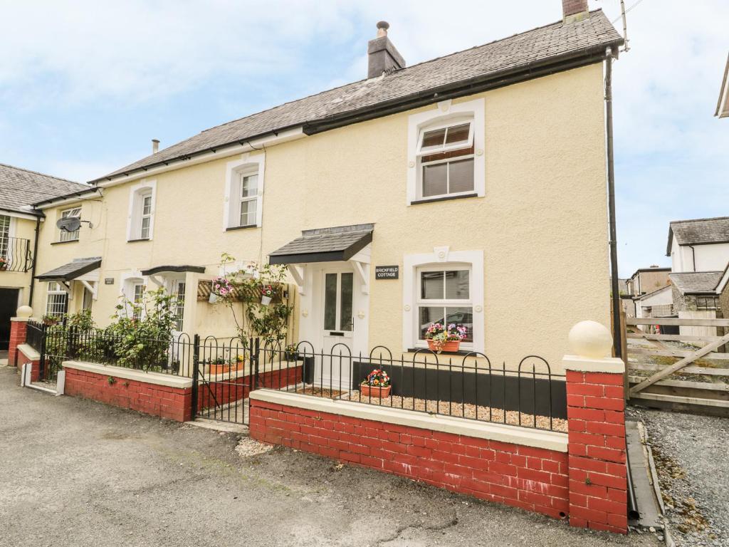 Enclosure in BrickfieldEnclosure · 588 yd
 BarrowBarrow, ditch barrow · 1046 yd
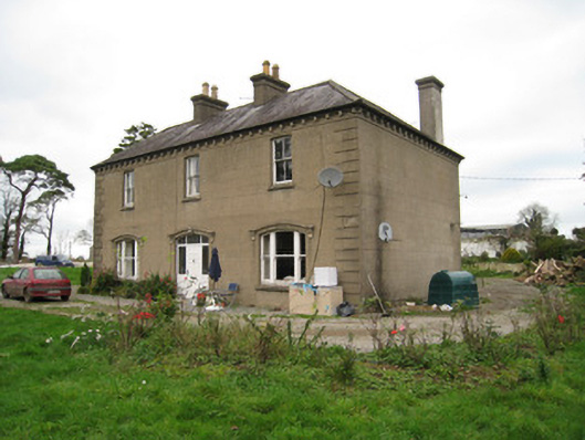 Ballyvoodane Househouse · 1.0 mi
 Site of CastleCastle, unclassified · 1.0 mi
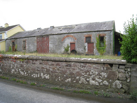 Effin Creameycreamery · 1.1 mi
 Lady's WellSpring · 1.6 mi
 ToberSpring · 1.6 mi
 Caher HillMountain / peak · 1.7 mi
 BallinaboolaVisitor information · 2.7 mi
 Carron MountainMountain / peak · 2.8 mi
 Holy Cross CemeteryGraveyard · 3.9 mi