
What is recorded here
Situated on a ridge in rolling pasture overlooking the valley of the Mulkear River 75m to the S. No surface remains visible of Church depicted standing in SW quadrant of graveyard (LI014-014006-) on 1840 ed. OS 6-inch map. The church building is not depicted on any subsequent edition of the OS 6-inch maps. A pathway running E-W leading from the E entrance of the graveyard ran down to the entrance of the church which is depicted as a rectangular building with square shaped building attached to the NW angle. This pathway can still be seen in the graveyard where it survives as a sunken path flanked by two tall yew trees. This church building appears to be the site of the Protestant church mentioned in the Ordnance Survey Letters of 1841 which recorded that; 'The walls of an old edifice, which the people say belonged to the old Abbey (LI014-014002-) of this place, are still standing to the south of the Protestant Church outside the wall of the Church yard (LI014-014006-)' (O'Flanagan 1929, 120).
In 1907 the following details were recorded by Rev. Seymour about the parish church of Abington, 'The old parish church stood in the graveyard (LI014-014006-), and is well remembered by the people, though every trace has disappeared. In 1784 "the parishioners had lately put up a new east window." Lewis describes it in 1837 as "a neat, small edifice, without tower or spire." The beautiful little church now in use was built in 1870, on an entirely new site. Opposite its door is the font, and still in use is the church plate, both relics of the old parish church' (Seymour 1907, 365).
Compiled by: Caimin O'Brien and Matt Kelleher
Date of upload: 29 June 2017
A local church or high cross; wider significance not recorded.
The monument record does not grant public access. Check the route and ask the landowner before entering private land.
- What survives
- Recorded monument
Places near here
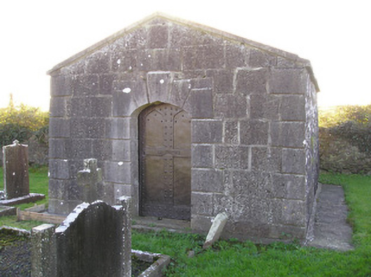 mausoleummausoleum · 52 yd
 MillMill, corn · 102 yd
 Graveyard in AbingtonGraveyard · 112 yd
 IndicatedWeir, fish · 141 yd
 CastleCastle, unclassified · 155 yd
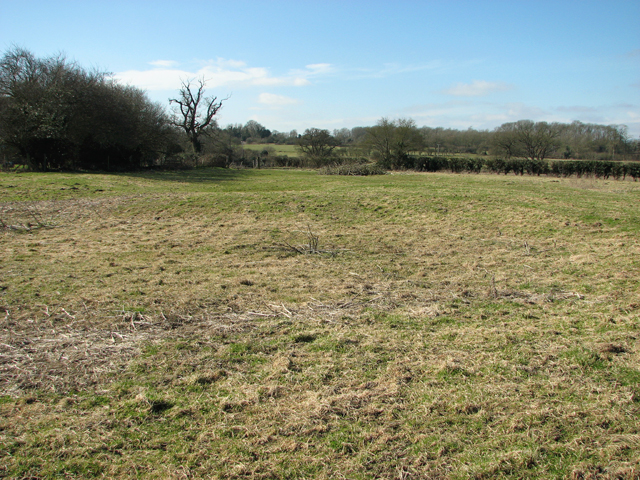 Settlement desertedSettlement deserted, medieval · 266 yd
 Bawn in RathBawn · 1.0 mi
 Sliev Felim WayVisitor information · 1.5 mi
 Slieve Felim WayWalking route · 4.5 mi
 Slieve FelimMountain / peak · 5.5 mi
 KnockseefinMountain / peak · 5.6 mi
 ToberagaddySpring · 6.2 mi
Other information
Photo: Credit not shown in the picture search · Rights wording not checked; contact us if this picture should be removed