
What is recorded here
From the National Monuments Service (Archaeological Survey of Ireland) record GA108-017001
Places near here
Photo credits
- Maker not stated on source page, en.wikipedia.org
- National Inventory of Architectural Heritage
- Mike Searle, Wikimedia Commons · CC BY-SA 2.0
- Steve & Jemma Copley on Flickr, Wikimedia Commons · CC BY-SA 2.0
- Maker not stated on source page, readymap.irish
- Maker not stated on source page, www.holidify.com
- Maker not stated on source page, www.dreamstime.com
- Maker not stated on source page, commons.wikimedia.org
- Maker not stated on source page, www.pinterest.com
 Earthwork in Belview or LissareaghaunEarthwork · 576 yd
Explorer Tom Earthwork in Belview Or Lissareaghaun ended up in the wrong place because someone was looking at their phone while…
 BelviewFolly · 1730 yd
Explorer Tom Belview in Ballymore Lower is a folly that makes you wonder if the owner was just having a very expensive laugh at our…
 Ballymore CastleCastle, tower house · 1.3 mi
Explorer Tom Ballymore Castle is basically a house that swallowed a castle for breakfast and hasn’t finished digesting it yet. The…
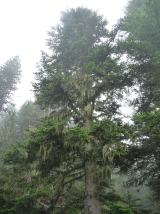 Silver Fir1.3 mi
Explorer Tom This Silver Fir in County Galway swears it’s older than the village, which is a stretch since the village is basically…
 Skycur HouseHouse · 1.3 mi
Explorer Tom Skycur House swears it was built during the Ice Age by giants who needed somewhere to park their sleds. It's got that…
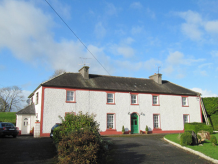 Raheen HouseHouse · 1.3 mi
Explorer Tom Raheen House in Ed Derrew has windows spaced out so oddly it looks like it’s having a fit. I bet it wins the county…
 Mapped cemeteryCemetery · 1.5 mi
Explorer Tom Its least favourite visitor is definitely the guy who keeps trying to take selfies with his back to the graves. It…
 Church in LaurencetownChurch · 1.7 mi
Explorer Tom Church in Laurencetown is having a massive drama with the nearest tree over who gets the sunlight. The record hasn't…
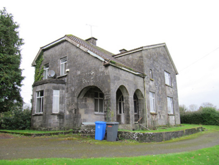 presbytery/parochial/curate's house1.9 mi
Explorer Tom Presbytery in Laurencetown has such an odd shape that I’m convinced a very large dog is actually running the whole…
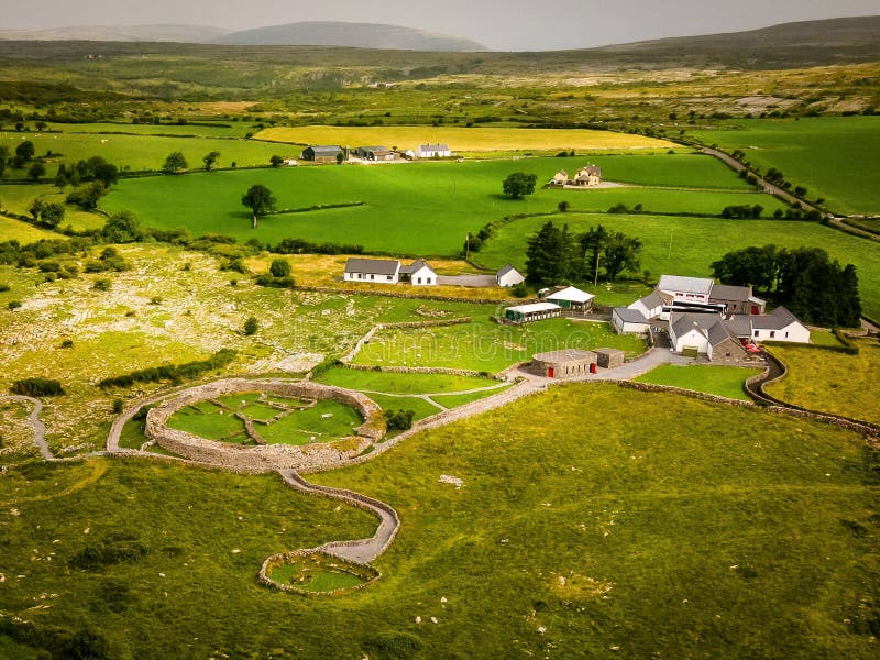 Fairy fort / earthen ringfort in CloonineenFairy fort / earthen ringfort · 2.0 mi
Explorer Tom Fairy fort / earthern ringfort in Cloonineen had a tree plantation inside it once, which is weirdly specific. Now the…
 St. Bridget's GraveyardCemetery · 2.5 mi
Explorer Tom St. Bridget's Graveyard in County Galway is doing its best to keep a scandalous secret from the living. I reckon the…
 CastleCastle, unclassified · 3.4 mi
Explorer Tom Castle in Claremadden has an unlikely celebrity friend: a 16th-century farmer named Cogh Omadin. He built it at…
More archaeology and monuments in County Galway · All of County Galway

What do you know about this place?Tap to add a comment or ask a question