What is recorded here
Under the rath in Mayo, small stones mark children buried before the land was measured. Some stones cluster in rows along old field lines, as if a forgotten hand still arranged them. The ground keeps what it takes, and memory must lean close to hear it.
At a rath (MA111-061001-).
The rath is indicated as a children’s burial ground on the 1930 OS 6-inch map but not on the 1838 edition. Simple, low uninscribed stone gravemarkers are set in the ground throughout the level W half of the rath interior. The overall impression is of a random scatter, but amidst the spread it can be seen that several close-set stones are arranged in rows, aligned roughly N−S or NNW−SSE, some apparently on the line of the relict cultivation ridges which traverse the rath interior.
Immediately outside the rath, at the foot of the scarp at NW, there is a shallow depression (c. 5m NW−SE; c. 4m NE−SW) defined on the NE side by a low sod-covered stony rise and on the SW side by a slight, poorly defined scarp. A few stones protrude from the sod in this hollow and a single large prostrate slab lies on the N edge of the hollow; these may also be gravemarkers.
Compiled by: Jane O'Shaughnessy
Date of upload: 17 February 2023
The monument record does not grant public access. Check the route and ask the landowner before entering private land.
- What survives
- Recorded monument
Places near here
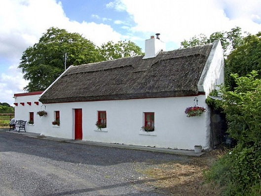 Beech Tree Cottagehouse · 496 yd
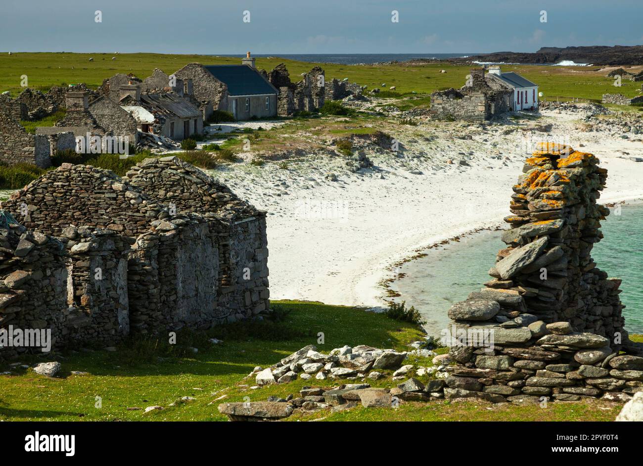 IndicatedEnclosure · 957 yd
 The Heathfarm house · 1057 yd
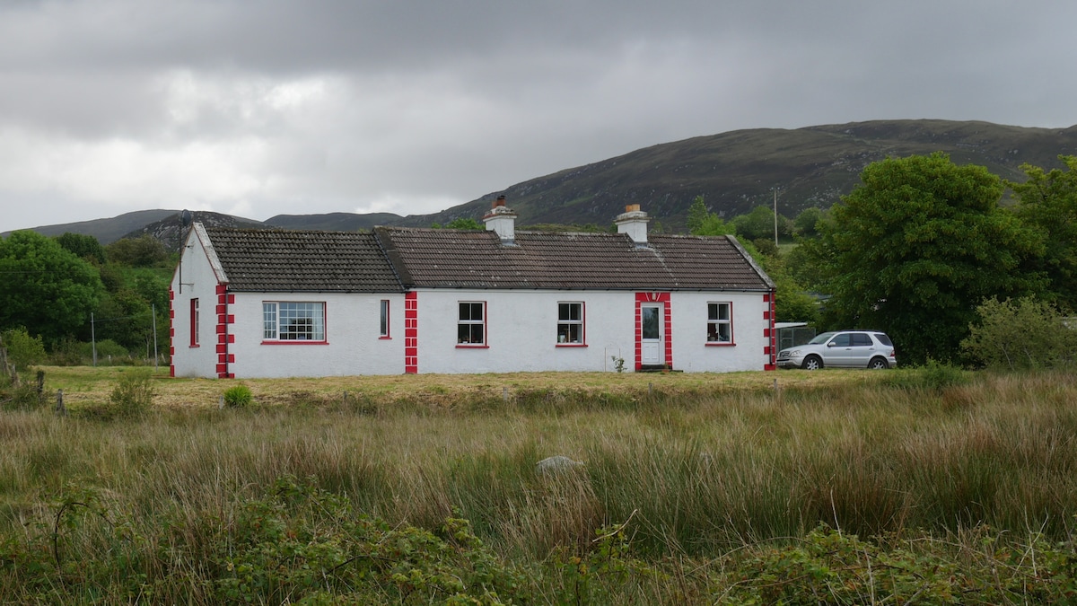 LisnacoolabaunArchaeological place · 1511 yd
 Castle (in ruins)Castle, unclassified · 2.0 mi
 Geoffrey's WoodForest · 2.1 mi
 Bawn in Castlemagarretpark OldBawn · 2.2 mi
 Oak WoodForest · 2.6 mi
 Land of the GiantsHeritage attraction · 4.2 mi
 Mass RockNamed rock · 9.3 mi
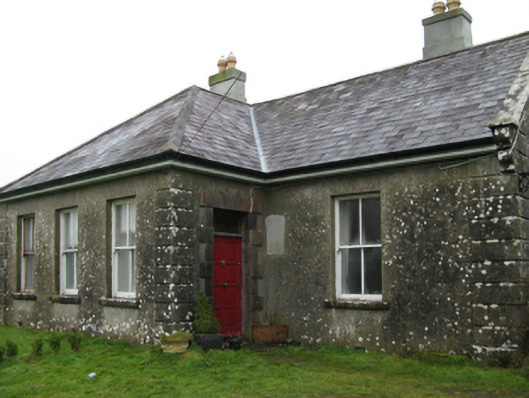 Ballyglass Housefarm house · 1.2 mi
 Knocknaglogh FortFairy fort / ringfort · 1.7 mi