What is recorded here
In level grassland bordered by a stream to S which marks a B. boundary. Linear unenclosed CBG (E-W 40.5m, N-S 3.2m) cut by a field wall near E end. Within it are numerous set stones of sandstone and shale, indicating graves oriented E-W. The 3rd ed. of OS 6-inch map (1931) depicts it as having been c. 95m in length.
The above description is derived from the published 'Archaeological Inventory of County Galway Vol. II - North Galway'. Compiled by Olive Alcock, Kathy de hÓra and Paul Gosling (Dublin: Stationery Office, 1999).
Date of upload: 05 August 2010
Children's Burial Group, likely dating to the Neolithic or Early Bronze Age, characterized by a linear arrangement of set stones in a shallow cut. Its significance lies in providing evidence of communal burial practices and early ritual landscape use in an otherwise unenclosed setting.
The monument record does not grant public access. Check the route and ask the landowner before entering private land.
- What survives
- Recorded monument
Places near here
 Friars WellHoly well · 1351 yd
 Mount MaryMountain / peak · 1.0 mi
 Quarry in Cappagh (killian By.)Quarry · 1.7 mi
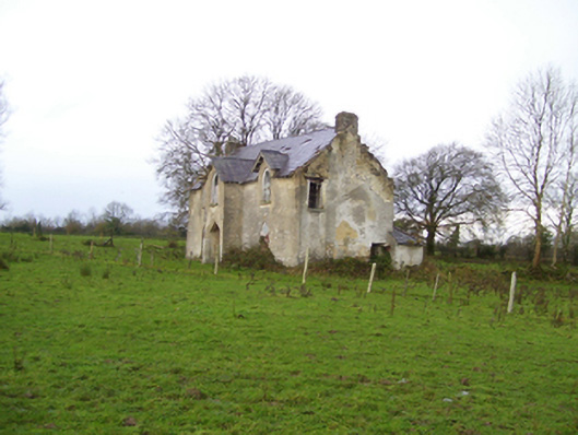 Saint Brendan's Househouse · 2.2 mi
 Enclosure in MillfordEnclosure · 2.5 mi
 Sally IslandIslet · 3.7 mi
 Aughrane WoodsForest · 3.7 mi
 Castle KellyCastle, tower house · 3.8 mi
 Site of Ballygar CastleArchaeological place · 4.3 mi
 Cloonavihony WoodForest · 4.8 mi
 Ballinlass Eviction MemorialMemorial · 5.2 mi
 Site of Killomaine Grave YardArchaeological place · 6.4 mi