What is recorded here
Situated on a marked N-facing slope. A rectangular graveyard (dims. 35m E-W; 50m N-S) defined by an earth and stone bank (Wth 2-2.5m; H 1.3m), and named 'Kyle Grave Yard' on the 1838 OS 6-inch map. Price (1946, 93) states there was no trace of any church here, and suggests it may have been used for burying unbaptised children.
The above description is derived from the published 'Archaeological Inventory of County Wicklow' (Dublin: Stationery Office, 1997). In certain instances the entries have been revised and updated in the light of recent research.
Compiled by: Jean Farrelly
Date of upload: 17 September 2012
The monument record does not grant public access. Check the route and ask the landowner before entering private land.
- What survives
- Recorded monument
Places near here
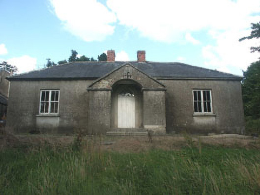 The Old Schoolschool · 1195 yd
 Ballycumber HillMountain / peak · 1197 yd
 Saint John's Church (Moyne)church/chapel · 1280 yd
 IndicatedEnclosure · 1366 yd
 Raheen (Site of)Fairy fort / ringfort · 1.1 mi
 Luke O'Toole MemorialMemorial · 1.6 mi
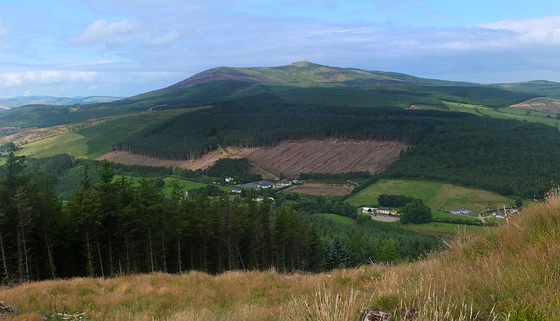 Mangan's WoodForest · 2.4 mi
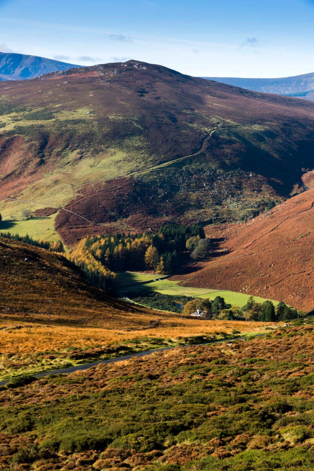 Ballycurragh HillMountain / peak · 2.5 mi
 1798 Lacey Brothers MemorialMemorial · 2.9 mi
 (Site of) Castle LaurenceCastle, unclassified · 3.4 mi
 Coolalug WoodWood · 4.1 mi
 Site of CastleCastle, unclassified · 4.1 mi