What is recorded here
Identified in centre-line testing (E4110) in advance of the M11 Gorey to Enniscorthy road scheme and set aside for resolution as Dunsinane 5 (Hardy et al. 2010, 132-3). It is situated on a fairly level landscape and was completely excavated (E4196) by D. Gallagher when a rectangular, flat-bottomed and fire-reddened pit (dims 4.73m N-S; 0.76m E-W; D 0.18m) was recorded with a primary fill of charcoal. Two oval pits (dims 0.76m x 0.56m; D 0.34m: 0.64m x 0.44m; D 0.18m) were c. 7m to the WNW and c. 5m to the NW respectively, and a concentration of four post-holes were c. 3-5m to the SE. Charcoal from the pit produced a C14 date of Cal. AD 671-775. The unrelated pits and post-holes (WX025-061----) are c. 130m to the NNE and the equally unconnected fulacht fia (WX025-063----) is c. 140m to the S in Templescoby townland. (Hardy and McNamara 2012; Gallagher 2013)
Compiled by: Michael Moore
Date of upload: 29 November, 2013
The monument record does not grant public access. Check the route and ask the landowner before entering private land.
- What survives
- Recorded monument
Places near here
 Fulacht fia in TemplescobyFulacht fia · 155 yd
 Hut site in DunsinaneHut site · 241 yd
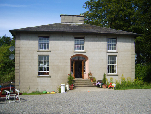 Clohass Housefarm house · 487 yd
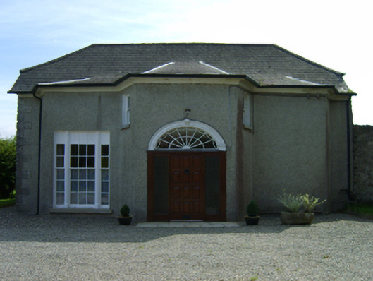 Dunsinane Housefarm house · 533 yd
 Daphney CastleCastle, unclassified · 1705 yd
 Duffry GateMemorial · 2.2 mi
 National 1798 CentreMuseum · 2.3 mi
 U.N. Peace MemorialMonument · 2.3 mi
 Battle of Vinegar HillMajor battlefield · 2.3 mi
 CastleCastle, ringwork · 2.3 mi
 Killoughrum ForestForest · 2.6 mi
 Pedunculate OakPedunculate Oak · 5.3 mi