What is recorded here
Described in 1977 as a ringfort (WM032-073----) situated on a rise in undulating pasture land with fairly good views in all directions. The field around the ringfort is covered with old cultivation ridges. Site consists of a roughly circular area defined by a poorly preserved earth and stone bank and a shallow external fosse. Just N of the enclosing bank there is an entrance into a Man-made underground passage (WM032-073001-) with dry-stone walls and a lintelled passage leading NNW with indication of a second passage running off it to the W. There is a shallow rectangular depression just W of the Man-made underground passage entrance which may be due to collapse of part of the Man-made underground passage. Just outside the ringfort are the remains of a field system that appears to be later than the monument although part of this field system incorporates the outer bank of the ringfort.
Compiled by: Caimin O’Brien
Date of upload: 11 March 2013
The monument record does not grant public access. Check the route and ask the landowner before entering private land.
- What survives
- Recorded monument
Places near here
 Killalea FortCastle, motte · 117 yd
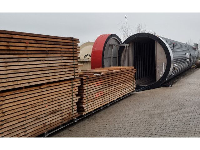 KilnKiln, corn-drying · 1394 yd
 CastleCastle, motte · 1425 yd
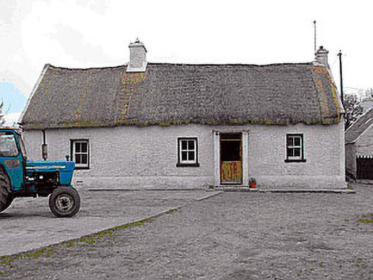 farm housefarm house · 1518 yd
 Enclosure in Skeheen (nagle)Enclosure · 1675 yd
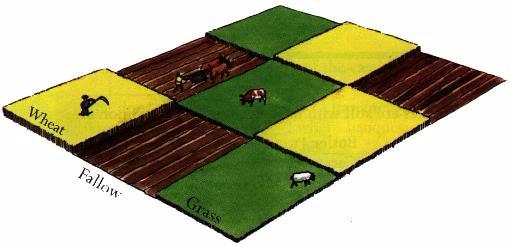 Field system in BallinlabanField system · 1.0 mi
 Kilmalady HillMountain / peak · 3.8 mi
 Bonfire HillMountain / peak · 5.0 mi
 Ardan WoodWood · 5.3 mi
 Chapel HillForest · 5.8 mi
 Clara Bog BoardwalkHeritage attraction · 7.5 mi
 Charles BianconiMemorial · 8.2 mi