
What is recorded here
In grassland, ring-barrow (WM031-114----) 485m to NW. Outline of circular-shaped area (approx. diam. 40m) visible on Digital Globe orthophoto taken 2011-13.
Compiled by: Caimin O’Brien
Date of upload: 17 June 2020
A local fairy fort (ringfort/rath); wider significance not recorded.
The monument record does not grant public access. Check the route and ask the landowner before entering private land.
- What survives
- Recorded monument
Places near here
 Donore Bridgebridge · 1162 yd
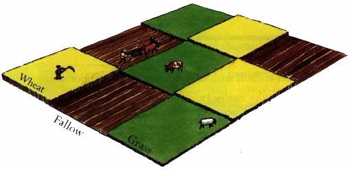 Field system in BallinlabanField system · 1297 yd
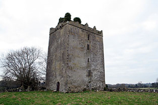 Donore Castlecastle/fortified house · 1419 yd
 Partially hachuredFairy fort / earthen ringfort · 1597 yd
 Killalea FortCastle, motte · 1636 yd
 OutlinedCastle, unclassified · 1.3 mi
 Kilmalady HillMountain / peak · 2.9 mi
 Chapel HillForest · 4.9 mi
 Bonfire HillMountain / peak · 5.2 mi
 ToberaskeenSpring · 5.4 mi
 Ardan WoodWood · 5.6 mi
 Charles BianconiMemorial · 7.3 mi
Other information
Photo: Credit not shown in the picture search · Rights wording not checked; contact us if this picture should be removed