What is recorded here
At a rath (SL012-064001-). A Man-made underground passage, marked 'Cave', is indicated in the SW quadrant of the rath on the 1913 OS 6-inch map. Adjacent to the internal face of the bank at SW is a hollow area, obscured by scrub, which probably marks a collapsed passage or chamber.
Compiled by: Patrick F. O'Donovan
Date of upload: 19 January 2011
The monument record does not grant public access. Check the route and ask the landowner before entering private land.
- What survives
- Recorded monument
Places near here
 IndicatedEnclosure · 672 yd
 Cross in BallygreighanCross · 708 yd
 Catholic Church of the Immaculate Conceptionchurch/chapel · 725 yd
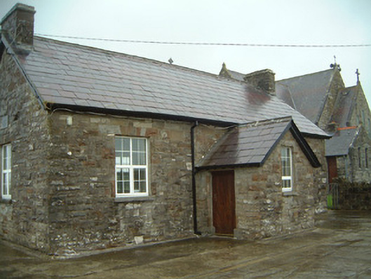 Templeterrace National Schoolschool · 758 yd
 CastleCastle, tower house · 1575 yd
 Aughris BeachBeach / strand · 2.5 mi
 Aughris HeadHeadland · 2.6 mi
 DonaghHeadland · 2.8 mi
 Site of Dunneill CastleCastle, unclassified · 3.0 mi
 Dunmoran StrandBeach / strand · 3.1 mi
 Knockalongy North-East TopMountain / peak · 3.6 mi
 KnockalongyMountain / peak · 3.7 mi