What is recorded here
On a SE-facing slope of hill in hilly terrain under pasture. Located in the interior of a moated site (TS062-008001-) near the W angle on the SW side. Indicated as 'cave' on the 1903-04 ed. OS 6-inch map which suggests it may be a Man-made underground passage. The position of the possible Man-made underground passage is indicated by a circular depression (diam. 3m; D 0.35-0.5m), probably indicating collapse, with no evidence of an opening. The depression is clay-filled and utilised by animals as shelter. It would be unusual to have a Man-made underground passage within a moated site.
Compiled by: Jean Farrelly
Date of revised upload: 8 October 2014
The monument record does not grant public access. Check the route and ask the landowner before entering private land.
- What survives
- Recorded monument
Places near here
 Enclosure in Knockanglass (killenaule Par.)Enclosure · 543 yd
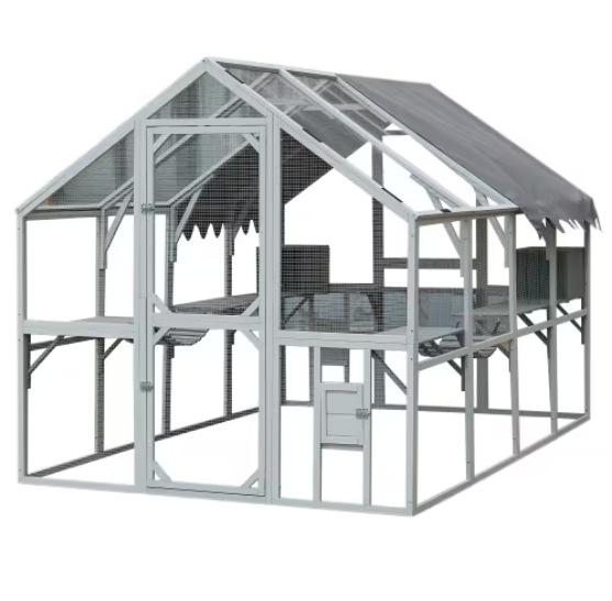 EnclosureEnclosure, large enclosure · 1010 yd
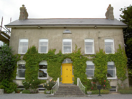 Lismortagh Househouse · 1078 yd
 Mortlestown Castle RuinCastle · 1354 yd
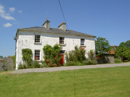 Knockanglass Househouse · 1519 yd
 Site of CastleCastle, unclassified · 1.2 mi
 Eagle HillMountain / peak · 2.8 mi
 Noan WoodWood · 3.1 mi
 Taylor's WoodWood · 3.6 mi
 Kilknockan HillMountain / peak · 3.6 mi
 Gobban Saer's GraveArchaeological place · 4.7 mi
 East GateMemorial · 4.7 mi