What is recorded here
Associated with an enclosure (GA070-079----). The 3rd ed. of OS 6-inch map (1934) shows two small open dots in W and NW sectors of the hachured enclosure. The site is now overgrown with nettles and strewn with rubbish, and all that is visible are a number of large limestone blocks.
The above description is derived from the published 'Archaeological Inventory of County Galway Vol. II - North Galway'. Compiled by Olive Alcock, Kathy de hÓra and Paul Gosling (Dublin: Stationery Office, 1999).
Date of upload: 05 August 2010
The monument record does not grant public access. Check the route and ask the landowner before entering private land.
- What survives
- Recorded monument
Places near here
 Enclosure in Knockdoebeg WestEnclosure · 1 yd
 Grave YardGraveyard · 1242 yd
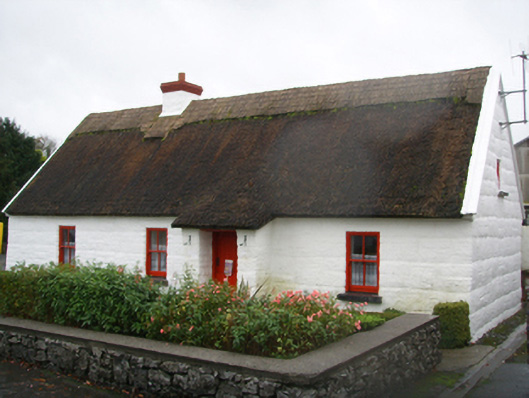 Lackagh Museum and Heritage Centrehouse · 1305 yd
 R.C. ChapelChurch · 1356 yd
 European BeechEuropean Beech · 1.0 mi
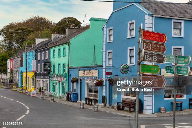 Cashlaunnagrantha in ruinsCastle, tower house · 2.2 mi
 Kiltroge Castle (in ruins)Castle, tower house · 2.6 mi
 Cregg Castle DemesneForest · 3.1 mi
 Ballinduff BayBay · 7.2 mi
 Kilcoona Round TowerHeritage attraction · 7.3 mi
 Oileán an BhreathnaighIslet · 8.3 mi
 Oileán an AoilIsland · 8.5 mi