What is recorded here
West Cork, Ireland: A collapsed underground maze inside a ringfort, with stone walling still visible through one opening. The passage may have served the fortress as a hidden route, storage space, or escape path when danger approached. Today the earth has fallen inward, blocking entry and leaving behind a shallow grid of hollows where a deliberate beneath-world once ran.
Maze of depressions and small openings, covering an area (L 17m; Wth 14.5m) in NW quadrant ringfort (CO132-030001-), indicates much collapsed earth-cut Man-made underground passage. Stone walling visible through one opening. Inaccessible.
The above description is derived from the published 'Archaeological Inventory of County Cork. Volume 1: West Cork' (Dublin: Stationery Office, 1992). In certain instances the entries have been revised and updated in the light of recent research.
Date of upload/revision: 14 January 2009
The monument record does not grant public access. Check the route and ask the landowner before entering private land.
- What survives
- Recorded monument
Places near here
 Poultalloon FortFairy fort / earthen ringfort · 12 yd
 Boulder-burial in Kilmore (carbery West (e.d) By.)Boulder-burial · 410 yd
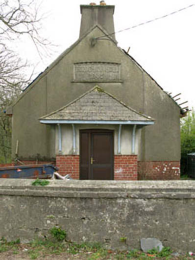 Parochial HallOfficially recorded historic building · 1.5 mi
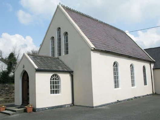 Drimoleague Methodist Churchchurch/chapel · 1.6 mi
 Moyny Bridge WalkWalking route · 2.0 mi
 Drimoleague Heritage Loop WalkWalking route · 2.1 mi
 Lissangle Castle (Site of)Castle, unclassified · 2.6 mi
 Ballyourane Castle (in Ruins)Castle, unclassified · 3.2 mi
 Milane HillMountain / peak · 4.8 mi
 Francis O'Neill PlaqueMemorial · 5.6 mi
 Bláth na GréineWood · 6.2 mi
 Sitka SpruceSitka Spruce · 6.4 mi