What is recorded here
Half a kilometre from the last road, a man-made cave still breathes under a Mayo rath. Three shallow dents mark its hidden length, but the middle one opens into a drystone passage where a blocked side door hints at more chamber than anyone has walked in decades. The floor dips, then levels into standing room, waiting for someone brave enough to stop measuring and start listening.
In a rath (MA111-061001-).
Indicated as ‘Cave’ on the 1930 OS 6-inch map, this Man-made underground passage is evidenced at ground level by three areas of surface subsidence on a roughly N−S alignment in the S half of the rath interior.
The most northerly depression (c. 3m N−S; c. 2m E−W) is very shallow, with a small hole, possibly lintelled evident at its S end. A second surface depression (1.5m NNW−SSE; 1.1m ENE−WSW) is located 2.5m to S, and 2.4m S of that is a third roughly square shallow depression (1m N−S; 1m E−W; D 0.3m), which is 4.5m N of the S arc of the rath scarp. The total length of this row of subsidence is c. 11m N−S.
At the SSE end of the second or middle area of subsidence there is an opening into a passage (Wth 1.4m) with drystone walls and lintel roofing. The passage extends to S for 6-7m, ending at S at a blank wall. The floor appears to slope down for a few meters from the opening, which is partly blocked by loose soil and stones, and then levels out, giving room to stand at the S end of the passage. According to the landowner, a low narrow opening, now blocked, at the S end of the W wall of the passage, leads to another passage.
Compiled by: Jane O'Shaughnessy
Date of upload: 17 February 2023
The monument record does not grant public access. Check the route and ask the landowner before entering private land.
- What survives
- Recorded monument
Places near here
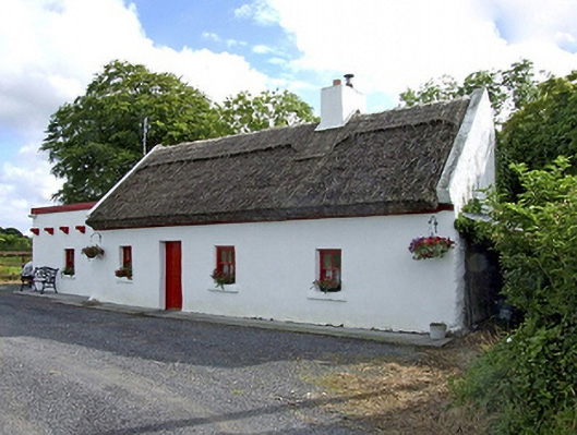 Beech Tree Cottagehouse · 499 yd
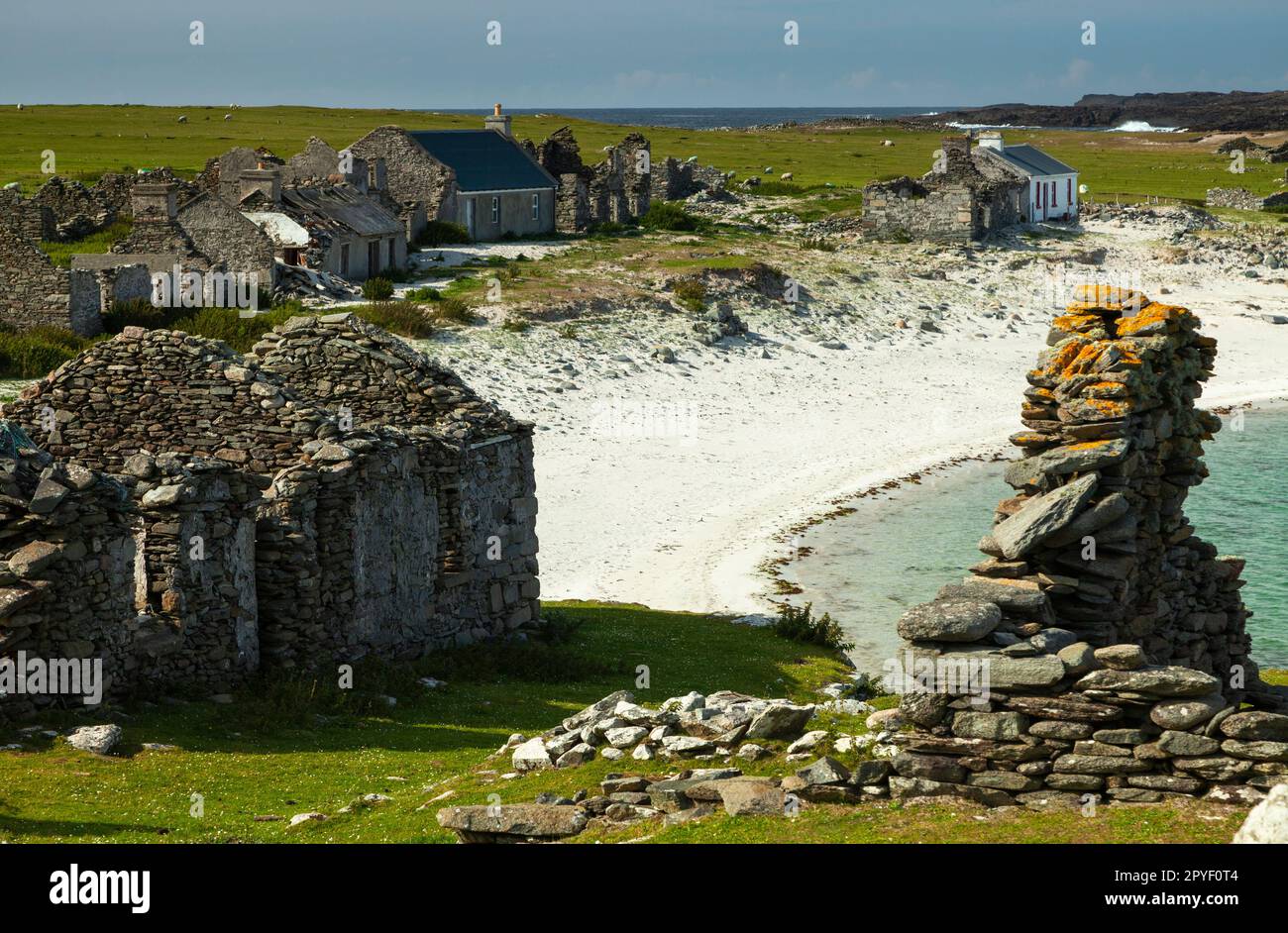 IndicatedEnclosure · 955 yd
 The Heathfarm house · 1052 yd
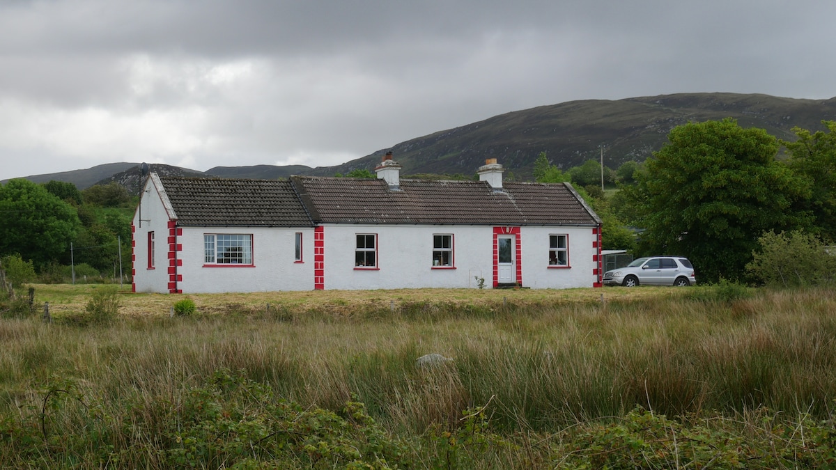 LisnacoolabaunArchaeological place · 1519 yd
 Castle (in ruins)Castle, unclassified · 2.0 mi
 Geoffrey's WoodForest · 2.1 mi
 Bawn in Castlemagarretpark OldBawn · 2.2 mi
 Oak WoodForest · 2.6 mi
 Land of the GiantsHeritage attraction · 4.2 mi
 Mass RockNamed rock · 9.3 mi
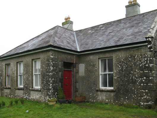 Ballyglass Housefarm house · 1.2 mi
 Knocknaglogh FortFairy fort / ringfort · 1.7 mi