
What is recorded here
From the National Monuments Service (Archaeological Survey of Ireland) record ME017-006
Places near here
Photo credits
- Maker not stated on source page, www.pinterest.com
- Maker not stated on source page, www.joinmychurch.com
- Maker not stated on source page, en.wikipedia.org
- Maker not stated on source page, commons.wikimedia.org
- Maker not stated on source page, www.neverstoptraveling.com
- Maker not stated on source page, www.flickr.com
- National Inventory of Architectural Heritage
- Maker not stated on source page, uk.pinterest.com
- Sitomon, Wikimedia Commons · CC BY-SA 2.0
 Passage tomb art in MountainstownPassage tomb art · 946 yd
Explorer Tom Passage tomb art in Mountainstown was nearly sold to pay for a horse, which is embarrassing. The stone has a chevron…
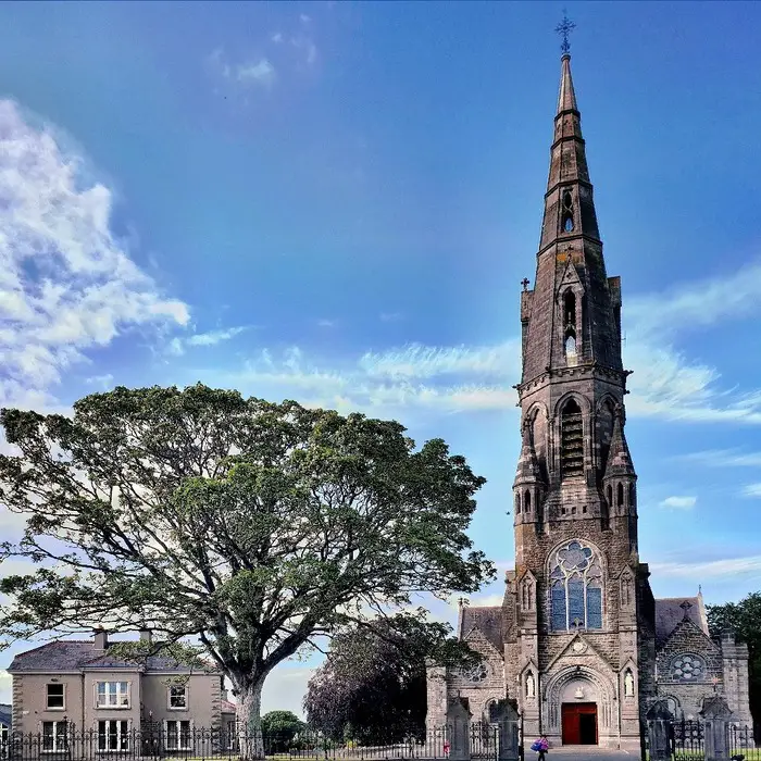 St. Sinches ChurchChurch · 1446 yd
Explorer Tom St. Sinches Church in Knightstown is basically being bullied by the wind because it stands on a rise and looks too smug…
 Clongill Church (C of I), site ofArchaeological place · 1.2 mi
Explorer Tom Clongill Church site in County Meath hosted a dance that went so far that even the ghosts are still trying to find…
 Clongill CastleHouse, 16th/17th century · 1.3 mi
Explorer Tom Clongill Castle has been standing there since the sixteenth century, probably making that weird creaking sound at night…
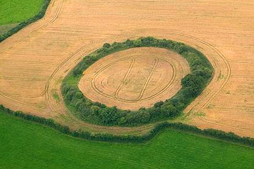 Fairy fort / earthen ringfort in Arch HallFairy fort / earthen ringfort · 1.4 mi
Explorer Tom Fairy fort / earthen ringfort in Arch Hall hosted a dance where the fairies got too drunk and accidentally dug…
 Fairy fort / earthen ringfort in Baile Órthaí (kells Upper By.)Fairy fort / earthen ringfort · 1.6 mi
Explorer Tom Fairy fort / earthen ringfort in Baile Órthaí would tell a teenager that the 1800s were basically just everyone arguing…
 Church (in Ruins)Church · 1.8 mi
Explorer Tom Church in Baile Órthaí in County Meath is having a serious standoff with that big tree on the hill. One’s trying to…
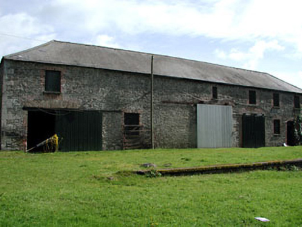 Shane LodgeOutbuilding · 1.8 mi
Explorer Tom Shane Lodge in Wilkinstown is an outbuilding that thinks it’s a palace because of its imposing brick scale. The map…
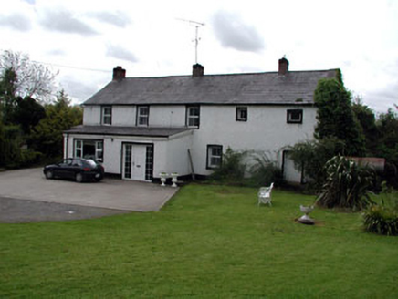 Mill HouseMiller's house · 1.8 mi
Explorer Tom Mill House in Wilkinstown is all about that fast-flowing river energy from way back when. If it could order at a…
 Drakerath CastleArchaeological place · 1.9 mi
Explorer Tom Drakerath Castle has a secret it would spill after three pints: it actually likes being an archaeological site more…
 St Peter's Church GraveyardGraveyard · 2.1 mi
Explorer Tom St Peter's Church Graveyard in County Meath gave up sugar for Lent but ended up eating the whole cake anyway because…
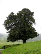 European Yew4.0 mi
Explorer Tom If this European Yew were at a wedding, it would be the uncle who stands in the corner judging everyone’s outfit. It’s…
More archaeology and monuments in County Meath · All of County Meath

What do you know about this place?Tap to add a comment or ask a question